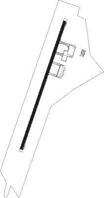
Narathiwat
Airport details
| Country | Thailand |
| State | Narathiwat Province |
| Region | VT |
| Airspace | Bangkok Ctr |
| Elevation | 18ft (5m) |
| Timezone | GMT +7 |
| Coordinates | 6.52324, 101.74484 |
| Magnetic var | |
| Type | land |
| Available since | X-Plane v10.40 |
| ICAO code | VTSC |
| IATA code | NAW |
| FAA code | n/a |
Communication
| Narathiwat Tower | 122.700 |
| Narathiwat Approach | 125.550 |
Approach frequencies
| ILS-cat-I | RW02 | 110.1 | 18.00mi |
| 3° GS | RW02 | 110.1 | 18.00mi |
Nearby Points of Interest:
Krue Sae Mosque
-Leng Chu Kiang Shrine
Nearby beacons
| code | identifier | dist | bearing | frequency |
|---|---|---|---|---|
| BTN | NARATHIWAT TACAN | 0 | 59° | 115.20 |
| NT | NARATHIWAT NDB | 0.2 | 103° | 383 |
| NTW | NARATHIWAT VOR/DME | 0.2 | 4° | 116.30 |
| PT | PATTANI NDB | 39 | 294° | 201 |
| VKB | KOTA BHARU VOR/DME | 40.2 | 122° | 112.30 |
| BET | BETONG (YALA) VOR/DME | 57 | 219° | 113.10 |
| VGK | GONG KEDAK VORTAC | 61.8 | 135° | 116.60 |
Instrument approach procedures
| runway | airway (heading) | route (dist, bearing) |
|---|---|---|
| RW02 | ANGEL (115°) | ANGEL 4000ft TUNYO (14mi, 188°) 4000ft NAWSI (10mi, 113°) 3000ft |
| RW02 | OLIVE (156°) | OLIVE 7000ft ANGEL (18mi, 188°) 4000ft TUNYO (14mi, 188°) 4000ft NAWSI (10mi, 113°) 3000ft |
| RNAV | NAWSI 3000ft NAWSF (5mi, 23°) 2300ft MR02 (7mi, 23°) 232ft (6105mi, 266°) 2200ft ANGEL (6093mi, 86°) 4000ft ANGEL (turn) | |
| RW20 | MAPLE (156°) | MAPLE 4000ft NAWNI (12mi, 113°) 2500ft |
| RW20 | OAKLY (114°) | OAKLY 7000ft MAPLE (17mi, 74°) 4000ft NAWNI (12mi, 113°) 2500ft |
| RNAV | NAWNI 2500ft NAWNF (5mi, 203°) 1900ft VTSC (6mi, 203°) 68ft (6106mi, 266°) 2200ft NAWNI (6110mi, 86°) 2500ft NAWNI (turn) |
Disclaimer
The information on this website is not for real aviation. Use this data with the X-Plane flight simulator only! Data taken with kind consent from X-Plane 12 source code and data files. Content is subject to change without notice.