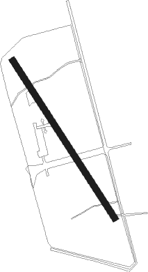
Thung Song
Airport details
| Country | Thailand |
| State | Nakhon Si Thammarat Province |
| Region | |
| Airspace | Bangkok Ctr |
| Municipality | Tham Yai |
| Elevation | 250ft (76m) |
| Timezone | GMT +7 |
| Coordinates | 8.16994, 99.71183 |
| Magnetic var | |
| Type | land |
| Available since | X-Plane v10.40 |
| ICAO code | VTT5 |
| IATA code | n/a |
| FAA code | n/a |
Communication
| Thung Song Big Shell | 127.000 |
Nearby Points of Interest:
Wat Khao Mueang Kao
-Thale Noi Non-Hunting Area
-Wat Nikhom Prathip
Nearby beacons
| code | identifier | dist | bearing | frequency |
|---|---|---|---|---|
| NKS | NAKHON SI THAMMARAT VOR/DME | 26.3 | 32° | 117.40 |
| TRN | TRANG VOR/DME | 40 | 187° | 116.60 |
| KBI | KRABI VOR/DME | 43.8 | 265° | 111 |
| KB | KRABI NDB | 44 | 265° | 299 |
| STN | SURAT THANI VOR/DME | 67 | 329° | 110.60 |
| SRT | SURAT THANI TACAN | 67.1 | 329° | 113.20 |
Disclaimer
The information on this website is not for real aviation. Use this data with the X-Plane flight simulator only! Data taken with kind consent from X-Plane 12 source code and data files. Content is subject to change without notice.