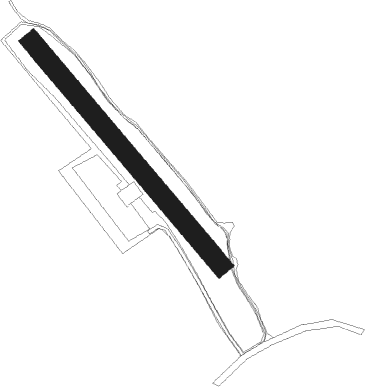
Pattaya - Nong Prue
Airport details
| Country | Thailand |
| State | Chon Buri Province |
| Region | |
| Airspace | Bangkok Ctr |
| Municipality | Huai Yai |
| Elevation | 160ft (49m) |
| Timezone | GMT +7 |
| Coordinates | 12.89462, 100.95915 |
| Magnetic var | |
| Type | land |
| Available since | X-Plane v10.40 |
| ICAO code | VTV5 |
| IATA code | n/a |
| FAA code | n/a |
Communication
Nearby Points of Interest:
Wat Nong Ket Yai
-Phra Chuthathut Palace
-Wat Bang Phra Worawihan
-Wat Ban Khai
-Wat Tan Lom
-Wat Bang Peng
-Wat Na Ta Khwan
-Wat Yai Intharam
-Wat Khao Din
Nearby beacons
| code | identifier | dist | bearing | frequency |
|---|---|---|---|---|
| UT | U-TAPHAO INTL (RAYONG) NDB | 11.8 | 168° | 234 |
| BUT | U-TAPAO VOR/DME | 13.9 | 170° | 110.80 |
| UP | U-TAPHAO NDB | 14.1 | 171° | 414 |
| RYN | RAYONG VOR/DME | 42.6 | 99° | 112.50 |
| SVB | SUVARNABHUMI (BANGKOK) VOR/DME | 47.7 | 343° | 111.40 |
| BKK | BANGKOK VOR/DME | 63.6 | 340° | 117.70 |
Disclaimer
The information on this website is not for real aviation. Use this data with the X-Plane flight simulator only! Data taken with kind consent from X-Plane 12 source code and data files. Content is subject to change without notice.