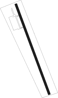
Samut Sakhon - Best Ocean Park
Airport details
| Country | Thailand |
| State | Samut Sakhon Province |
| Region | |
| Airspace | Bangkok Ctr |
| Municipality | Khok Krabue |
| Elevation | 3ft (1m) |
| Timezone | GMT +7 |
| Coordinates | 13.54357, 100.32838 |
| Magnetic var | |
| Type | land |
| Available since | X-Plane v10.40 |
| ICAO code | VTW5 |
| IATA code | n/a |
| FAA code | n/a |
Communication
| Best Ocean Park AWOS | 126.800 |
| Best Ocean Park Below 2000 | 123.650 |
Nearby beacons
| code | identifier | dist | bearing | frequency |
|---|---|---|---|---|
| SVB | SUVARNABHUMI (BANGKOK) VOR/DME | 24.5 | 74° | 111.40 |
| BKK | BANGKOK VOR/DME | 26.1 | 37° | 117.70 |
| KPS | KAMPHAENG SAEN (NAKHON PA VOR/DME | 43.2 | 329° | 114.50 |
| KPS | KAMPHAENG SAEN (NAKHON PATHOM) NDB | 43.4 | 329° | 251 |
| HN | HUA HIN NDB | 58.4 | 203° | 213 |
| HHN | HUA HIN VOR/DME | 58.8 | 203° | 113.30 |
| UT | U-TAPHAO INTL (RAYONG) NDB | 64 | 141° | 234 |
| BUT | U-TAPAO VOR/DME | 65.7 | 143° | 110.80 |
| UP | U-TAPHAO NDB | 65.7 | 143° | 414 |
Disclaimer
The information on this website is not for real aviation. Use this data with the X-Plane flight simulator only! Data taken with kind consent from X-Plane 12 source code and data files. Content is subject to change without notice.
