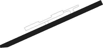
Min Buri - Minburi
Airport details
| Country | Thailand |
| State | Bangkok |
| Region | |
| Airspace | Bangkok Ctr |
| Municipality | Min Buri District |
| Elevation | 9ft (3m) |
| Timezone | GMT +7 |
| Coordinates | 13.82477, 100.73374 |
| Magnetic var | |
| Type | land |
| Available since | X-Plane v10.40 |
| ICAO code | VTY9 |
| IATA code | n/a |
| FAA code | n/a |
Communication
Nearby Points of Interest:
Wat Sangkharacha
-Wat Bueng Thonglang
-Wat Thep Lila
-Wat Thewasunthon
-Wat Uthaitharam
-Wat Thammaphirataram
-Embassy of the United Kingdom, Bangkok
-Wat Thong Suttharam
-Wat Bang Na Nai
-Royal Thai Army Ordnance Department
-Wat Khlong Toei Nai
-Wat Liap Rat Bamrung
-Wat Chom Sudaram
-Wat Sukhantharam
-Chaliam La 56 bridge
-Wat Noi Nopphakhun
-Chit Lada Station
-Wat Kaeo Fa Chulamani
-Wat Amphawan
-Saphan Saowani
-Wat Chan Samoson
-Wat Sawatdiwari Simaram
-Wat Chong Lom
-Phitsanulok Mansion
-Chamai Maru Chet Bridge
Nearby beacons
| code | identifier | dist | bearing | frequency |
|---|---|---|---|---|
| BKK | BANGKOK VOR/DME | 9 | 297° | 117.70 |
| SVB | SUVARNABHUMI (BANGKOK) VOR/DME | 9.9 | 181° | 111.40 |
| PB | PRACHIN BURI NDB | 41.1 | 65° | 201 |
| KPS | KAMPHAENG SAEN (NAKHON PATHOM) NDB | 49.8 | 294° | 251 |
Disclaimer
The information on this website is not for real aviation. Use this data with the X-Plane flight simulator only! Data taken with kind consent from X-Plane 12 source code and data files. Content is subject to change without notice.
