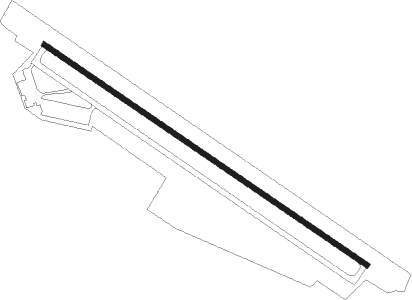
Sao Vang - Tho Xuan
Airport details
| Country | Vietnam |
| State | Thanh Hoa province |
| Region | VV |
| Airspace | Hanoi Ctr |
| Municipality | Thọ Xuân District |
| Elevation | 375ft (114m) |
| Timezone | GMT +7 |
| Coordinates | 19.90243, 105.46920 |
| Magnetic var | |
| Type | land |
| Available since | X-Plane v10.40 |
| ICAO code | VV01 |
| IATA code | n/a |
| FAA code | n/a |
Communication
Nearby Points of Interest:
Tràng An
Nearby beacons
| code | identifier | dist | bearing | frequency |
|---|---|---|---|---|
| C | THO XUAN NDB | 1.3 | 127° | 410 |
| THX | THO XUAN (THANH HOA) VOR/DME | 1.7 | 127° | 114.80 |
| CB | THO XUAN NDB | 3.5 | 127° | 252 |
| NAH | NAM HA (HANOI) VOR/DME | 46.7 | 53° | 115.50 |
| HL | NAM DINH NDB | 46.9 | 53° | 304 |
| MC | MOCCHAU NDB | 70.4 | 320° | 514 |
Disclaimer
The information on this website is not for real aviation. Use this data with the X-Plane flight simulator only! Data taken with kind consent from X-Plane 12 source code and data files. Content is subject to change without notice.