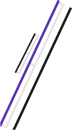
Tuy Hoa - Dong Tac
Airport details
| Country | Vietnam |
| State | Phu Yen province |
| Region | VV |
| Airspace | Ho Chi Minh Ctr |
| Municipality | Tuy Hòa |
| Elevation | 20ft (6m) |
| Timezone | GMT +7 |
| Coordinates | 13.04000, 109.33500 |
| Magnetic var | |
| Type | land |
| Available since | X-Plane v10.40 |
| ICAO code | VVTH |
| IATA code | TBB |
| FAA code | n/a |
Communication
Approach frequencies
| ILS-cat-I | RW21 | 111.1 | 18.00mi |
| 3° GS | RW21 | 111.1 | 18.00mi |
Runway info
Nearby beacons
| code | identifier | dist | bearing | frequency |
|---|---|---|---|---|
| TH | TUYHOA NDB | 0.5 | 329° | 200 |
| TUH | TUY HOA (PHU YEN) VOR/DME | 1.1 | 225° | 117 |
| PC | PHU CAT NDB | 51.5 | 344° | 250 |
| C | PHU CAT NDB | 56.2 | 343° | 388 |
| PCA | PHU CAT VOR/DME | 57.6 | 342° | 116.30 |
Departure and arrival routes
| SID end points | distance | outbound heading | |
|---|---|---|---|
| RW03 | |||
| TUNE2D | 26mi | 205° | |
| TUN1A | 16mi | 225° | |
| LIN1A | 17mi | 306° | |
| LINE2D | 20mi | 317° | |
| RW21 | |||
| TUNE2C | 26mi | 205° | |
| TUN1B | 16mi | 225° | |
| LIN1B | 17mi | 306° | |
| LINE2C | 20mi | 317° | |
| STAR starting points | distance | inbound heading | |
|---|---|---|---|
| RW21 | |||
| TUNE2A | 25.7 | 25° | |
| LINE2A | 20.1 | 137° | |
Disclaimer
The information on this website is not for real aviation. Use this data with the X-Plane flight simulator only! Data taken with kind consent from X-Plane 12 source code and data files. Content is subject to change without notice.

