Cocokyun - Coco Island
Airport details
| Country | Myanmar |
| State | Yangon |
| Region | VY |
| Airspace | Yangon Ctr |
| Municipality | Cocokyun |
| Elevation | 20ft (6m) |
| Timezone | GMT +6 |
| Coordinates | 14.13869, 93.36801 |
| Magnetic var | |
| Type | land |
| Available since | X-Plane v10.40 |
| ICAO code | VYCI |
| IATA code | n/a |
| FAA code | n/a |
Communication
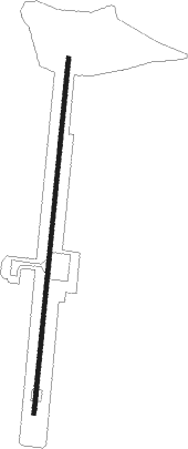
Runway info
| Runway 01 / 19 | ||
| length | 2454m (8051ft) | |
| bearing | 10° / 190° | |
| width | 28m (92ft) | |
| surface | asphalt | |
Disclaimer
The information on this website is not for real aviation. Use this data with the X-Plane flight simulator only! Data taken with kind consent from X-Plane 12 source code and data files. Content is subject to change without notice.