Tonasket - Tonasket Muni
Airport details
| Country | United States of America |
| State | Washington |
| Region | K1 |
| Airspace | Seattle Ctr |
| Municipality | Tonasket |
| Elevation | 1311ft (400m) |
| Timezone | GMT -8 |
| Coordinates | 48.72487, -119.46564 |
| Magnetic var | |
| Type | land |
| Available since | X-Plane v10.40 |
| ICAO code | W01 |
| IATA code | n/a |
| FAA code | n/a |
Communication
| Tonasket Muni CTAF | 122.900 |
Nearby Points of Interest:
Lost Lake Guard Station
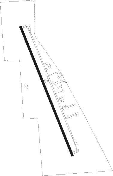
Runway info
| Runway 15 / 33 | ||
| length | 932m (3058ft) | |
| bearing | 155° / 335° | |
| width | 15m (50ft) | |
| surface | asphalt | |
Nearby beacons
| code | identifier | dist | bearing | frequency |
|---|---|---|---|---|
| ON | OKANAGAN (PENTICTON) NDB | 37.3 | 351° | 356 |
| YYF | PENTICTON NDB | 46.1 | 350° | 290 |
| UNT | NARAMATA (PENTICTON) NDB | 52.6 | 351° | 312 |
| YDC | PRINCETON VOR/DME | 53.2 | 306° | 113.90 |
Disclaimer
The information on this website is not for real aviation. Use this data with the X-Plane flight simulator only! Data taken with kind consent from X-Plane 12 source code and data files. Content is subject to change without notice.