Moses Lake - Moses Lake Municipal
Airport details
| Country | United States of America |
| State | Washington |
| Region | |
| Airspace | Seattle Ctr |
| Municipality | Moses Lake |
| Elevation | 1205ft (367m) |
| Timezone | GMT -8 |
| Coordinates | 47.14544, -119.23786 |
| Magnetic var | |
| Type | land |
| Available since | X-Plane v10.40 |
| ICAO code | W20 |
| IATA code | n/a |
| FAA code | W20 |
Communication
| Moses Lake Municipal CTAF | 123.000 |
Nearby Points of Interest:
Drumheller Channels National Natural Landmark
-Grant County Courthouse
-Grand Coulee
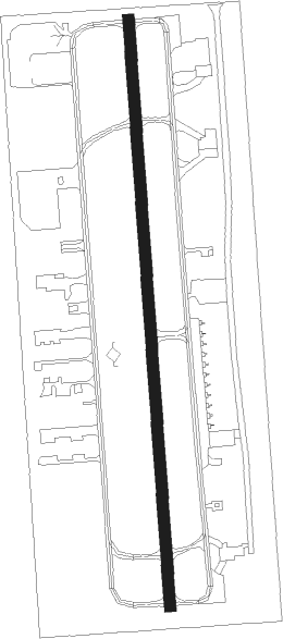
Runway info
| Runway 16 / 34 | ||
| length | 767m (2516ft) | |
| bearing | 181° / 1° | |
| width | 15m (50ft) | |
| surface | asphalt | |
| displ threshold | 142m (466ft) / 77m (253ft) | |
Nearby beacons
| code | identifier | dist | bearing | frequency |
|---|---|---|---|---|
| MW | PELLY (MOSES LAKE) NDB | 2.3 | 231° | 408 |
| MWH | MOSES LAKE VOR/DME | 5 | 310° | 115 |
| EPH | EPHRATA VORTAC | 15.8 | 321° | 112.60 |
| EAT | WENATCHEE VOR/DME | 42.4 | 285° | 111 |
| PSC | PASCO VOR/DME | 52.7 | 172° | 109.80 |
Disclaimer
The information on this website is not for real aviation. Use this data with the X-Plane flight simulator only! Data taken with kind consent from X-Plane 12 source code and data files. Content is subject to change without notice.