Woodland - Woodland State
Airport details
| Country | United States of America |
| State | Washington |
| Region | |
| Airspace | Seattle Ctr |
| Municipality | Woodland |
| Elevation | 20ft (6m) |
| Timezone | GMT -8 |
| Coordinates | 45.90199, -122.73929 |
| Magnetic var | |
| Type | land |
| Available since | X-Plane v10.40 |
| ICAO code | W27 |
| IATA code | n/a |
| FAA code | W27 |
Communication
Nearby Points of Interest:
Judge Columbia Lancaster House
-Caples House Museum
-Cox–Williams House
-Arndt Prune Dryer
-Lewisville Park
-United States Post Office
-Amboy United Brethren Church
-Portland and Southwestern Railroad Tunnel
-Covington House
-Venersborg School
-Bybee–Howell House
-Washington School for the Blind
-Longview Community Church-Saint Helen's Addition
-Slocum House
-Vancouver Telephone Building
-John P. and Mary Kiggins House
-House of Providence
-Elks Building
-Vancouver National Historic Reserve Historic District
-Jantzen Beach Carousel
-Raymond and Catherine Fisher House
-St. Johns Post Office
-John Stanger House
-Statue of Paul Bunyan
-Thomas M. and Alla M. Paterson House
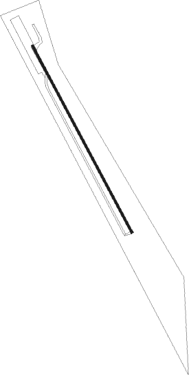
Runway info
| Runway 14 / 32 | ||
| length | 685m (2247ft) | |
| bearing | 148° / 328° | |
| width | 8m (26ft) | |
| surface | asphalt | |
| displ threshold | 88m (289ft) / 0m (0ft) | |
Nearby beacons
| code | identifier | dist | bearing | frequency |
|---|---|---|---|---|
| BTG | BATTLE GROUND VORTAC | 11.1 | 136° | 116.60 |
| CBU | COLUMBIA (PORTLAND) TACAN | 19.5 | 158° | 109.20 |
| PND | BANKS (PORTLAND) NDB | 20.7 | 228° | 356 |
| UBG | NEWBERG VOR/DME | 34.4 | 204° | 117.40 |
Disclaimer
The information on this website is not for real aviation. Use this data with the X-Plane flight simulator only! Data taken with kind consent from X-Plane 12 source code and data files. Content is subject to change without notice.