Sundance - Hulett Muni
Airport details
| Country | United States of America |
| State | Wyoming |
| Region | K1 |
| Airspace | Denver Ctr |
| Municipality | Crook County |
| Elevation | 4264ft (1300m) |
| Timezone | GMT -7 |
| Coordinates | 44.66286, -104.56783 |
| Magnetic var | |
| Type | land |
| Available since | X-Plane v10.40 |
| ICAO code | W43 |
| IATA code | n/a |
| FAA code | n/a |
Communication
| Hulett Muni AWOS 3 | 128.775 |
| Hulett Muni CTAF/UNICOM | 122.800 |
Nearby Points of Interest:
Tower Ladder
-Wyoming Highway 110
-Old Headquarters Area Historic District
-Ranch A
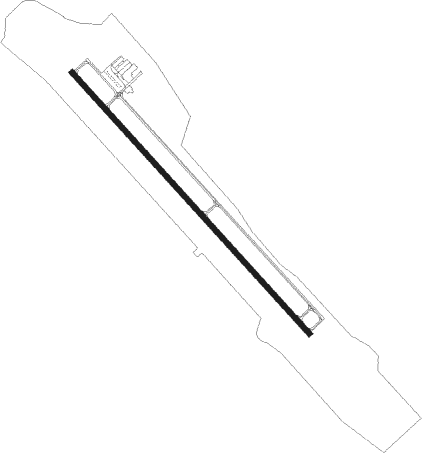
Runway info
| Runway 13 / 31 | ||
| length | 1677m (5502ft) | |
| bearing | 133° / 313° | |
| width | 23m (75ft) | |
| surface | asphalt | |
Nearby beacons
| code | identifier | dist | bearing | frequency |
|---|---|---|---|---|
| GCC | GILLETTE VOR/DME | 45.8 | 252° | 114.60 |
| GC | DERYK (GILLETTE) NDB | 47.1 | 248° | 380 |
| ECS | NEWCASTLE VOR | 48.2 | 162° | 108.20 |
Departure and arrival routes
| Transition altitude | 18000ft |
| Transition level | 18000ft |
| SID end points | distance | outbound heading | |
|---|---|---|---|
| RW13 | |||
| LLADN1 | 19mi | 208° | |
| RW31 | |||
| LLADN1 | 19mi | 208° | |
Instrument approach procedures
| runway | airway (heading) | route (dist, bearing) |
|---|---|---|
| RW13 | IMUNE (79°) | IMUNE FANRO (33mi, 64°) 7000ft |
| RW13 | KOCYE (28°) | KOCYE CAMUK (23mi, 329°) 7000ft FANRO (10mi, 64°) 7000ft |
| RNAV | FANRO 7000ft TUTTY (5mi, 132°) 6100ft W43 (6mi, 132°) 4235ft (6024mi, 113°) 4700ft KOCYE (6034mi, 293°) 7600ft KOCYE (turn) | |
| RWNVA | KOCYE (28°) | KOCYE 7600ft |
| RWNVA | WOMIV (48°) | WOMIV KOCYE (6mi, 105°) 7600ft |
| RWNVA | ZIXUN (5°) | ZIXUN KOCYE (6mi, 285°) 7600ft |
| RNAV | KOCYE 7600ft JITKI (12mi, 28°) 6600ft OCEGA (4mi, 28°) 5340ft NUCIR (3mi, 28°) 5020ft (6024mi, 113°) 5020ft KOCYE (6034mi, 293°) 15000ft KOCYE (turn) |
Disclaimer
The information on this website is not for real aviation. Use this data with the X-Plane flight simulator only! Data taken with kind consent from X-Plane 12 source code and data files. Content is subject to change without notice.