Moneta - Smith Mountain Lake
Airport details
| Country | United States of America |
| State | Virginia |
| Region | K6 |
| Airspace | Washington Ctr |
| Municipality | Bedford County |
| Elevation | 891ft (272m) |
| Timezone | GMT -5 |
| Coordinates | 37.10772, -79.59248 |
| Magnetic var | |
| Type | land |
| Available since | X-Plane v10.40 |
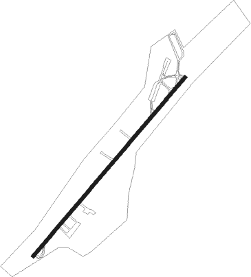
| ICAO code | W91 |
| IATA code | n/a |
| FAA code | W91 |
Communication
| Smith Mountain Lake CTAF | 122.975 |
Nearby Points of Interest:
Hook-Powell-Moorman Farm
-Holland-Duncan House
-Gwin Dudley Home Site
-Mount Airy (Leesville, Virginia)
-Waverly (Burnt Chimney, Virginia)
-Burwell-Holland House
-Brooks-Brown House
-Booth-Lovelace House
-Phillip Craft House
-Avenel (Bedford, Virginia)
-Jubal A. Early House
-Burks-Guy-Hagen House
-John D. Ballard House
-Elks National Home
-Gretna Commercial Historic District
-Thomas Claiborne Creasy House
-Yates Tavern
-John and Nancy Yeatts House
-Three Otters
-Avoca (Altavista, Virginia)
-Greer House
-Woods-Meade House
-Rocky Mount Historic District
-The Farm (Rocky Mount, Virginia)
-Washington Iron Furnace
Nearby beacons
| code | identifier | dist | bearing | frequency |
|---|---|---|---|---|
| VIT | VINTON (ROANOKE) NDB | 15 | 288° | 277 |
| LY | BOJAR (LYNCHBURG) NDB | 19.1 | 66° | 385 |
| LYH | LYNCHBURG VOR/DME | 19.1 | 68° | 109.20 |
| ODR | WOODRUM (ROANOKE) VOR | 22.5 | 299° | 114.90 |
| ROA | ROANOKE VOR/DME | 26.8 | 296° | 109.40 |
| DAN | DANVILLE VOR | 34.6 | 155° | 113.10 |
| UV | BALES (MARTINSVILLE) NDB | 34.7 | 212° | 396 |
| SBV | SOUTH BOSTON VORTAC | 38 | 127° | 110.40 |
| TEC | TECH (BLACKSBURG) NDB | 39.2 | 277° | 368 |
| SIF | SLAMMER (REIDSVILLE) NDB | 44.3 | 193° | 423 |
| MOL | MONTEBELLO VOR/DME | 52.9 | 31° | 115.30 |
| LW | BUSHI (LEWISBURG) NDB | 58.1 | 308° | 346 |
| HUR | PERSON (ROXBORO) NDB | 58.3 | 149° | 220 |
| LWB | DME | 59.2 | 313° | 116.05 |
| HXO | HUNTSBORO (OXFORD) NDB | 67.4 | 130° | 271 |
Instrument approach procedures
| runway | airway (heading) | route (dist, bearing) |
|---|---|---|
| RW23 | OTINE (231°) | OTINE 3000ft |
| RNAV | OTINE 3000ft HEMTA (7mi, 231°) 2900ft W91 (6mi, 231°) 932ft (4908mi, 115°) 1292ft ESISE (4910mi, 295°) PIGGS (9mi, 208°) 4000ft PIGGS (turn) |
Disclaimer
The information on this website is not for real aviation. Use this data with the X-Plane flight simulator only! Data taken with kind consent from X-Plane 12 source code and data files. Content is subject to change without notice.