Oksibil-papua Island - Oksibil
Airport details
| Country | Indonesia |
| State | Highland Papua |
| Region | WA |
| Airspace | Ujung Pandang Ctr |
| Municipality | Pegunungan Bintang |
| Elevation | 4292ft (1308m) |
| Timezone | GMT +9 |
| Coordinates | -4.90707, 140.63016 |
| Magnetic var | |
| Type | land |
| Available since | X-Plane v10.40 |
| ICAO code | WAJO |
| IATA code | OKL |
| FAA code | n/a |
Communication
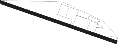
Runway info
| Runway 11 / 29 | ||
| length | 888m (2913ft) | |
| bearing | 114° / 294° | |
| width | 24m (79ft) | |
| surface | asphalt | |
Nearby beacons
| code | identifier | dist | bearing | frequency |
|---|---|---|---|---|
| ZX | PEGUNUNGAN BINTANG NDB | 4.8 | 320° | 342 |
| OKT | OK TEDI NDB | 51 | 126° | 16.320 |
Disclaimer
The information on this website is not for real aviation. Use this data with the X-Plane flight simulator only! Data taken with kind consent from X-Plane 12 source code and data files. Content is subject to change without notice.