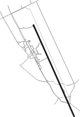
Merauke-papua Island - Merauke Mopah
Airport details
| Country | Indonesia |
| State | South Papua |
| Region | WA |
| Airspace | Ujung Pandang Ctr |
| Municipality | Rimba Jaya |
| Elevation | 9ft (3m) |
| Timezone | GMT +9 |
| Coordinates | -8.52111, 140.41695 |
| Magnetic var | |
| Type | land |
| Available since | X-Plane v10.40 |
| ICAO code | WAKK |
| IATA code | MKQ |
| FAA code | n/a |
Communication
| Merauke Mopah Tower | 122.200 |
Nearby beacons
| code | identifier | dist | bearing | frequency |
|---|---|---|---|---|
| MKE | MERAUKE VOR/DME | 0 | 174° | 115.80 |
Instrument approach procedures
| runway | airway (heading) | route (dist, bearing) |
|---|---|---|
| RW16 | SALOR (164°) | SALOR 3000ft KK402 (4mi, 172°) 2000ft |
| RNAV | KK402 2000ft KK403 (3mi, 160°) 1600ft WAKK (6mi, 161°) 60ft (8387mi, 273°) 1500ft RAUKE (8383mi, 93°) SALOR (14mi, 5°) 3000ft | |
| RW34 | DOGAM (337°) | DOGAM 3000ft KK602 (4mi, 330°) 2000ft |
| RNAV | KK602 2000ft KK603 (3mi, 340°) 1600ft WAKK (6mi, 339°) 55ft (8387mi, 273°) 1500ft RAUKE (8383mi, 93°) DOGAM (14mi, 136°) 3000ft |
Disclaimer
The information on this website is not for real aviation. Use this data with the X-Plane flight simulator only! Data taken with kind consent from X-Plane 12 source code and data files. Content is subject to change without notice.