Tanah Merah-papua Island - Tanah Merah
Airport details
| Country | Indonesia |
| State | South Papua |
| Region | WA |
| Airspace | Ujung Pandang Ctr |
| Municipality | Boven Digoel |
| Elevation | 74ft (23m) |
| Timezone | GMT +9 |
| Coordinates | -6.09619, 140.29987 |
| Magnetic var | |
| Type | land |
| Available since | X-Plane v10.40 |
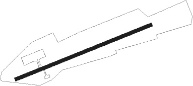
| ICAO code | WAKT |
| IATA code | TMH |
| FAA code | n/a |
Communication
Instrument approach procedures
| runway | airway (heading) | route (dist, bearing) |
|---|---|---|
| RW07 | GULID (72°) | GULID 3000ft KT402 (3mi, 72°) 2500ft |
| RNAV | KT402 2500ft KT403 (4mi, 73°) 1700ft WAKT (5mi, 72°) 126ft KT404 (3mi, 75°) GULID (15mi, 253°) 3000ft GULID (turn) 3000ft | |
| RW25 | KABNA (253°) | KABNA 3000ft KT602 (3mi, 253°) 2500ft |
| RNAV | KT602 2500ft KT603 (4mi, 253°) 1700ft WAKT (6mi, 254°) 136ft KT604 (3mi, 251°) KABNA (15mi, 73°) 3000ft KABNA (turn) 3000ft |
Disclaimer
The information on this website is not for real aviation. Use this data with the X-Plane flight simulator only! Data taken with kind consent from X-Plane 12 source code and data files. Content is subject to change without notice.