Samarinda - Temindung
Airport details
| Country | Indonesia |
| State | East Kalimantan |
| Region | WA |
| Airspace | Ujung Pandang Ctr |
| Municipality | Samarinda |
| Elevation | 33ft (10m) |
| Timezone | GMT +8 |
| Coordinates | -0.48194, 117.15667 |
| Magnetic var | |
| Type | land |
| Available since | X-Plane v10.40 |
| ICAO code | WALS |
| IATA code | SRI |
| FAA code | n/a |
Communication
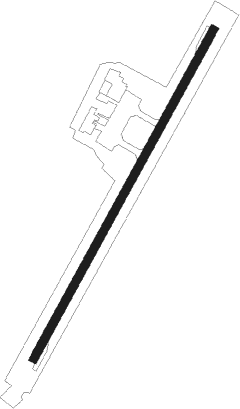
Runway info
| Runway 04 / 22 | ||
| length | 1013m (3323ft) | |
| bearing | 33° / 213° | |
| width | 23m (74ft) | |
| surface | asphalt | |
| displ threshold | 0m (0ft) / 99m (325ft) | |
| blast zone | 29m (95ft) / 0m (0ft) | |
Nearby beacons
| code | identifier | dist | bearing | frequency |
|---|---|---|---|---|
| TG | SAMARINDA NDB | 8.6 | 43° | 404 |
| BPN | BALIKPAPAN VOR/DME | 47.6 | 196° | 117.20 |
| OL | BALIKPAPAN NDB | 48.5 | 198° | 365 |
| PC | TANJUNG BARA (KUTAI TIMUR) NDB | 68.9 | 25° | 286 |
Instrument approach procedures
| runway | airway (heading) | route (dist, bearing) |
|---|---|---|
| RW04 | OKTUT (81°) | OKTUT 6000ft LS401 (10mi, 89°) 3000ft |
| RNAV | LS401 3000ft LS402 (5mi, 44°) 2000ft LS403 (5mi, 44°) 610ft LS404 (9mi, 325°) 2000ft OKTUT (18mi, 218°) 6000ft |
Disclaimer
The information on this website is not for real aviation. Use this data with the X-Plane flight simulator only! Data taken with kind consent from X-Plane 12 source code and data files. Content is subject to change without notice.