Namlea-buru Island - Namlea
Airport details
| Country | Indonesia |
| State | Moluccas |
| Region | WA |
| Airspace | Ujung Pandang Ctr |
| Municipality | Buru |
| Elevation | 81ft (25m) |
| Timezone | GMT +9 |
| Coordinates | -3.23806, 127.09917 |
| Magnetic var | |
| Type | land |
| Available since | X-Plane v10.40 |
| ICAO code | WAPR |
| IATA code | NAM |
| FAA code | n/a |
Communication
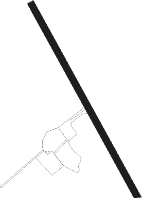
Runway info
| Runway 15 / 33 | ||
| length | 753m (2470ft) | |
| bearing | 156° / 336° | |
| width | 23m (75ft) | |
| surface | asphalt | |
Nearby beacons
| code | identifier | dist | bearing | frequency |
|---|---|---|---|---|
| HA | NAMLEA NDB | 0 | 108° | 290 |
| PMA | PATTIMURA VOR/DME | 65.8 | 116° | 113.60 |
Disclaimer
The information on this website is not for real aviation. Use this data with the X-Plane flight simulator only! Data taken with kind consent from X-Plane 12 source code and data files. Content is subject to change without notice.