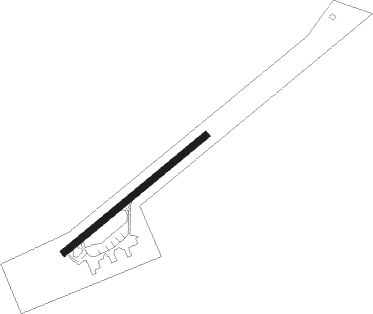
Anduki/seria - Seria Anduki
Airport details
| Country | Brunei Darussalam |
| State | Belait District |
| Region | WB |
| Airspace | Kota Kinabalu Ctr |
| Municipality | Mukim Seria |
| Elevation | 19ft (6m) |
| Timezone | GMT +8 |
| Coordinates | 4.64164, 114.38722 |
| Magnetic var | |
| Type | land |
| Available since | X-Plane v10.40 |
| ICAO code | WBAK |
| IATA code | n/a |
| FAA code | n/a |
Communication
Nearby beacons
| code | identifier | dist | bearing | frequency |
|---|---|---|---|---|
| AKI | ANDUKI NDB | 1.1 | 234° | 250 |
| VMI | MIRI VOR/DME | 29.7 | 232° | 112.40 |
| VMY | MIRI VOR/DME | 31.8 | 230° | 113.60 |
| BRU | BRUNEI VOR/DME | 32.9 | 65° | 112 |
| BR | BRUNEI NDB | 34.4 | 63° | 318 |
| VLG | LIMBANG VOR/DME | 37.9 | 76° | 113.40 |
| VZU | MULU VOR/DME | 43.9 | 146° | 112.80 |
| LAB | LABUAN NDB | 64.9 | 54° | 260 |
| VLB | LABUAN VOR/DME | 65 | 53° | 116.30 |
Departure and arrival routes
| Transition altitude | 11000ft |
| SID end points | distance | outbound heading | |
|---|---|---|---|
| RW05 | |||
| DEP05 | 36mi | 27° | |
| RW23 | |||
| DEP23 | 36mi | 27° | |
| STAR starting points | distance | inbound heading | |
|---|---|---|---|
| RW05 | |||
| ARR05 | 35.7 | 212° | |
| RW23 | |||
| ARR23 | 35.7 | 212° | |
Disclaimer
The information on this website is not for real aviation. Use this data with the X-Plane flight simulator only! Data taken with kind consent from X-Plane 12 source code and data files. Content is subject to change without notice.