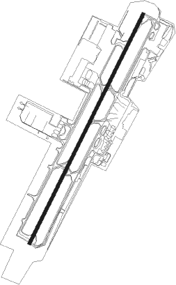
Bandar Seri Begawan - Brunei
Airport details
| Country | Brunei Darussalam |
| State | Brunei-Muara District |
| Region | WB |
| Airspace | Kota Kinabalu Ctr |
| Municipality | Mukim Berakas A |
| Elevation | 73ft (22m) |
| Timezone | GMT +8 |
| Coordinates | 4.94462, 114.92329 |
| Magnetic var | |
| Type | land |
| Available since | X-Plane v10.40 |
| ICAO code | WBSB |
| IATA code | BWN |
| FAA code | n/a |
Communication
| Brunei ATIS | 126.800 |
| Brunei Ground Control | 121.900 |
| Brunei Tower | 118.700 |
| Brunei RADAR | 119.200 |
| Brunei RADAR | 121.300 |
| Brunei RADAR | 127.100 |
Approach frequencies
| ILS-cat-I | RW03 | 108.9 | 18.00mi |
| ILS-cat-I | RW21 | 109.7 | 18.00mi |
| 3.2° GS | RW03 | 108.9 | 18.00mi |
| 3° GS | RW21 | 109.7 | 18.00mi |
Nearby beacons
| code | identifier | dist | bearing | frequency |
|---|---|---|---|---|
| BR | BRUNEI NDB | 3 | 206° | 318 |
| BRU | BRUNEI VOR/DME | 4.7 | 208° | 112 |
| VLG | LIMBANG VOR/DME | 10 | 152° | 113.40 |
| LAB | LABUAN NDB | 28.7 | 45° | 260 |
| VLB | LABUAN VOR/DME | 28.8 | 44° | 116.30 |
| AKI | ANDUKI NDB | 38 | 240° | 250 |
| VZU | MULU VOR/DME | 55.2 | 188° | 112.80 |
| VMI | MIRI VOR/DME | 66.4 | 237° | 112.40 |
| VMY | MIRI VOR/DME | 68.4 | 236° | 113.60 |
Disclaimer
The information on this website is not for real aviation. Use this data with the X-Plane flight simulator only! Data taken with kind consent from X-Plane 12 source code and data files. Content is subject to change without notice.