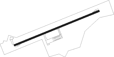
Pangandaran-java Island - Nusawiru
Airport details
| Country | Indonesia |
| State | West Java |
| Region | |
| Airspace | Jakarta Ctr |
| Elevation | 16ft (5m) |
| Timezone | GMT +7 |
| Coordinates | -7.72188, 108.48293 |
| Magnetic var | |
| Type | land |
| Available since | X-Plane v10.40 |
| ICAO code | WI1A |
| IATA code | n/a |
| FAA code | n/a |
Communication
| Nusawiru CTAF 127.85 | 127.850 |
| Nusawiru CTAF 124.80 | 124.800 |
| Nusawiru CTAF 124.90 | 124.900 |
| Nusawiru Tower 122.0 | 122.000 |
Nearby beacons
| code | identifier | dist | bearing | frequency |
|---|---|---|---|---|
| NW | NUSAWIRU (PANGANDARAN) NDB | 0.5 | 92° | 357 |
| TM | TASIKMALAYA NDB | 26.7 | 328° | 391 |
| CLP | CILACAP VOR/DME | 33.2 | 82° | 114.90 |
| PG | CIREBON NDB | 58.1 | 3° | 276 |
| OY | BANDUNG NDB | 69 | 314° | 300 |
| YY | BANDUNG NDB | 74.4 | 312° | 205 |
Disclaimer
The information on this website is not for real aviation. Use this data with the X-Plane flight simulator only! Data taken with kind consent from X-Plane 12 source code and data files. Content is subject to change without notice.