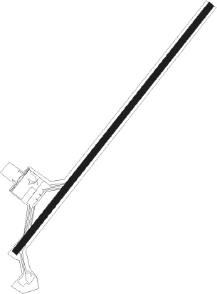
Tanjung Pinang-bintan Island - Tanjung/pinang Kijang
Airport details
| Country | Indonesia |
| State | Riau Islands |
| Region | WI |
| Airspace | Singapore Ctr |
| Municipality | Tanjung Pinang |
| Elevation | 50ft (15m) |
| Timezone | GMT +7 |
| Coordinates | 0.91470, 104.52665 |
| Magnetic var | |
| Type | land |
| Available since | X-Plane v10.40 |
| ICAO code | WIDN |
| IATA code | TNJ |
| FAA code | n/a |
Communication
| Tanjung/Pinang Kijang Tower | 118.950 |
| Tanjung/Pinang Kijang TANJUNG PINANG Approach | 130.200 |
Nearby beacons
| code | identifier | dist | bearing | frequency |
|---|---|---|---|---|
| TI | TANJUNG PINANG NDB | 0.3 | 355° | 385 |
| TPG | TANJUNG PINANG VOR/DME | 0.9 | 228° | 114.80 |
| BTM | BATAM VOR/DME | 27 | 300° | 116 |
| BM | BATAM NDB | 27.8 | 296° | 370 |
| VTK | TEKONG (SINGAPORE) VOR/DME | 42.6 | 315° | 116.50 |
| SJ | SINJON (SINGAPORE) VOR/DME | 44.4 | 295° | 113.50 |
| PLA | PAYA LEBAR (SINGAPORE) TACAN | 45.9 | 307° | 116.30 |
| PU | PAPA UNIFORM (SINGAPORE) VOR/DME | 46.9 | 311° | 115.10 |
| KK | KONG KONG (JOHOR BAHRU) NDB | 48.6 | 319° | 286 |
| SEL | SELETAR (SINGAPORE) NDB | 49.5 | 307° | 220 |
| AG | SEMBAWANG (SINGAPORE) NDB | 52.1 | 306° | 325 |
| TNG | TENGAH (SINGAPORE) TACAN | 56.7 | 300° | 113.90 |
| JB | JAYBEE (JOHOR BAHRU) NDB | 60.2 | 306° | 400 |
| VJB | JOHOR BAHRU VOR/DME | 68.7 | 311° | 112.50 |
| JR | JOHOR BAHRU NDB | 69.2 | 311° | 245 |
Departure and arrival routes
| Transition altitude | 11000ft |
| Transition level | 13000ft |
| SID end points | distance | outbound heading | |
|---|---|---|---|
| RW04 | |||
| TOMA1A | 80mi | 70° | |
| KIRD1A | 62mi | 153° | |
| JITL1A | 132mi | 261° | |
| WPON1A | 194mi | 294° | |
| RW22 | |||
| TOMA1B | 80mi | 70° | |
| KIRD1B | 62mi | 153° | |
| JITL1B | 132mi | 261° | |
| WPON1B | 194mi | 294° | |
| STAR starting points | distance | inbound heading | |
|---|---|---|---|
| RW04 | |||
| PARD1A | 90.8 | 12° | |
| JITL1A | 132.2 | 81° | |
| WPON1A | 194.0 | 114° | |
| VTK1A | 62.5 | 144° | |
| TOMA1A | 80.3 | 250° | |
| RW22 | |||
| PARD1B | 90.8 | 12° | |
| JITL1B | 132.2 | 81° | |
| WPON1B | 194.0 | 114° | |
| VTK1B | 62.5 | 144° | |
| TOMA1B | 80.3 | 250° | |
Disclaimer
The information on this website is not for real aviation. Use this data with the X-Plane flight simulator only! Data taken with kind consent from X-Plane 12 source code and data files. Content is subject to change without notice.
