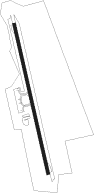
Ketapang-borneo Island - Ketapang/rahadi Usman
Airport details
| Country | Indonesia |
| State | West Kalimantan |
| Region | WI |
| Airspace | Jakarta Ctr |
| Municipality | Delta Pawan |
| Elevation | 44ft (13m) |
| Timezone | GMT +7 |
| Coordinates | -1.81602, 109.96200 |
| Magnetic var | |
| Type | land |
| Available since | X-Plane v10.40 |
| ICAO code | WIOK |
| IATA code | KTG |
| FAA code | n/a |
Communication
| Ketapang/Rahadi Usman INFO | 122.300 |
Nearby beacons
| code | identifier | dist | bearing | frequency |
|---|---|---|---|---|
| KTG | KETAPANG VOR/DME | 0.2 | 98° | 116.80 |
Instrument approach procedures
| runway | airway (heading) | route (dist, bearing) |
|---|---|---|
| RW17 | RAHOS (166°) | RAHOS 2500ft |
| RNAV | RAHOS 2500ft OK502 (5mi, 159°) 1650ft OK503 (4mi, 172°) 496ft RAHOS (8mi, 345°) 2500ft RAHOS (turn) 2500ft |
Disclaimer
The information on this website is not for real aviation. Use this data with the X-Plane flight simulator only! Data taken with kind consent from X-Plane 12 source code and data files. Content is subject to change without notice.
