Putussibau-borneo Island - Pangsuma
Airport details
| Country | Indonesia |
| State | West Kalimantan |
| Region | WI |
| Airspace | Jakarta Ctr |
| Municipality | Putussibau Selatan |
| Elevation | 293ft (89m) |
| Timezone | GMT +7 |
| Coordinates | 0.83833, 112.93555 |
| Magnetic var | |
| Type | land |
| Available since | X-Plane v10.40 |
| ICAO code | WIOP |
| IATA code | PSU |
| FAA code | n/a |
Communication
| Pangsuma Pangsuma Info | 123.500 |
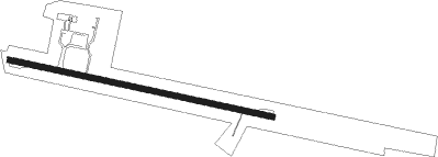
Runway info
| Runway 10 / 28 | ||
| length | 1396m (4580ft) | |
| bearing | 107° / 287° | |
| width | 30m (98ft) | |
| surface | asphalt | |
| blast zone | 30m (98ft) / 33m (108ft) | |
Nearby beacons
| code | identifier | dist | bearing | frequency |
|---|---|---|---|---|
| PB | PANGSUMA (PUTUSSIBAU) NDB | 0.1 | 106° | 360 |
| PSU | PUTUSSIBAU VOR/DME | 0.5 | 129° | 114 |
Disclaimer
The information on this website is not for real aviation. Use this data with the X-Plane flight simulator only! Data taken with kind consent from X-Plane 12 source code and data files. Content is subject to change without notice.