Mc Cleary - Bear Valley Skyranch
Airport details
| Country | United States of America |
| State | Washington |
| Region | |
| Airspace | Seattle Ctr |
| Municipality | Grays Harbor County |
| Elevation | 344ft (105m) |
| Timezone | GMT -8 |
| Coordinates | 47.08167, -123.27028 |
| Magnetic var | |
| Type | land |
| Available since | X-Plane v10.40 |
| ICAO code | WN47 |
| IATA code | n/a |
| FAA code | WN47 |
Communication
Nearby Points of Interest:
Mima Mounds
-Washington State Capitol
-American Legion Hall
-Mottman Building
-Elks Building
-Vance Creek Bridge
-Olympia Downtown Historic District
-Old Capitol Building
-Gate School
-Captain Calvin and Pamela Hale House
-Cloverfields
-High Steel Bridge
-Woodard Bay Natural Resources Conservation Area
-Millersylvania State Park
-Miller–Brewer House
-Twanoh State Park
-Tenino Downtown Historic District
-Tenino Stone Company Quarry
-Sierra
-Nisqually River
-Centralia Downtown Historic District
-Hoquiam's Castle
-Carnegie Library
-Masonic Temple-Hoquiam
-DuPont Village Historic District
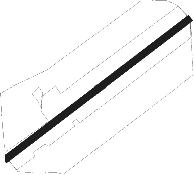
Runway info
| Runway 04 / 22 | ||
| length | 779m (2556ft) | |
| bearing | 66° / 246° | |
| width | 24m (80ft) | |
| surface | grass | |
Nearby beacons
| code | identifier | dist | bearing | frequency |
|---|---|---|---|---|
| OLM | OLYMPIA VORTAC | 16.4 | 107° | 113.40 |
| TCM | MC CHORD (TACOMA) TACAN | 32.7 | 85° | 109.60 |
| HQM | HOQUIAM VORTAC | 36.8 | 261° | 117.70 |
| SEA | SEATTLE VORTAC | 44.5 | 70° | 116.80 |
| AST | ASTORIA VOR/DME | 60.7 | 214° | 114 |
| PAE | PAINE (EVERETT) VOR/DME | 64.4 | 50° | 110.60 |
Disclaimer
The information on this website is not for real aviation. Use this data with the X-Plane flight simulator only! Data taken with kind consent from X-Plane 12 source code and data files. Content is subject to change without notice.