Oshkosh - Pioneer
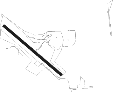
Airport details
| Country | United States of America |
| State | Wisconsin |
| Region | K5 |
| Airspace | Chicago Ctr |
| Municipality | Oshkosh |
| Elevation | 826ft (252m) |
| Timezone | GMT -6 |
| Coordinates | 43.98582, -88.57233 |
| Magnetic var | |
| Type | land |
| Available since | X-Plane v10.40 |
| ICAO code | WS17 |
| IATA code | n/a |
| FAA code | WS17 |
Communication
Nearby Points of Interest:
Robert Lutz House
-Brooklyn No. 4 Fire House
-Trinity Episcopal Church
-First Methodist Church
-Oviatt House
-Jessie Jack Hooper House
-Algoma Boulevard United Methodist Church
-Richard Guenther House
-Algoma Boulevard Historic District
-Omro Village Hall and Engine House
-Sisson's Peony Gardens
-Hiram Smith House
-George O. Bergstrom House
-Franklyn C. Shattuck House
-Havilah Babcock House
-Henry Sherry House
-Neenah Light
-Edward D. & Vina Shattuck Beals House
-Aetna Station No. 5
-Ellis Jennings House
-Judge J. C. Kerwin House
-Wallace-Jagdfeld Octagon House
-Henry Spencer Smith House
-Charles R. Smith House
-El Dorado Apartments
Nearby beacons
| code | identifier | dist | bearing | frequency |
|---|---|---|---|---|
| OSH | OSHKOSH VORTAC | 0.7 | 74° | 116.75 |
| OS | POBER (OSHKOSH) NDB | 6.7 | 173° | 395 |
| AQ | KOOKY (APPLETON) NDB | 15.7 | 37° | 407 |
| GR | FAMIS (GREEN BAY) NDB | 30.8 | 36° | 356 |
| SG | DEPRE (GREEN BAY) NDB | 31.1 | 47° | 332 |
| FAH | (SHEBOYGAN) DME | 33.9 | 107° | 110 |
| UNU | JUNEAU NDB | 33.9 | 193° | 344 |
| GRB | GREEN BAY VORTAC | 37.8 | 34° | 115.50 |
| BJB | WEST BEND VOR | 39 | 142° | 109.80 |
| MTW | DME | 39.4 | 81° | 111 |
| MT | MAWOC (MANITOWOC) NDB | 39.6 | 76° | 362 |
| RYV | ROCK RIVER (WATERTOWN) NDB | 49.2 | 191° | 371 |
| BAE | BADGER (MILWAUKEE) VOR/DME | 53.6 | 162° | 116.40 |
| LJT | (MILWAUKEE) DME | 57.5 | 149° | 115.65 |
| MSN | MADISON VORTAC | 60.5 | 222° | 108.60 |
Disclaimer
The information on this website is not for real aviation. Use this data with the X-Plane flight simulator only! Data taken with kind consent from X-Plane 12 source code and data files. Content is subject to change without notice.