Encampment - A Bar A Ranch
Airport details
| Country | United States of America |
| State | Wyoming |
| Region | K1 |
| Airspace | Denver Ctr |
| Municipality | Carbon County |
| Elevation | 7878ft (2401m) |
| Timezone | GMT -7 |
| Coordinates | 41.15700, -106.55700 |
| Magnetic var | |
| Type | land |
| Available since | X-Plane v10.30 |
| ICAO code | WY11 |
| IATA code | n/a |
| FAA code | WY11 |
Communication
| A Bar A Ranch AWOS-3PT (Saratoga) | 118.175 |
| A Bar A Ranch UNICOM | 122.800 |
Nearby Points of Interest:
Ryan Ranch
-Centennial Work Center
-Woods Landing Dance Hall
-the cabins at historic columbine
-Vee Bar Ranch Lodge
-Hahns Peak Schoolhouse
Runway info
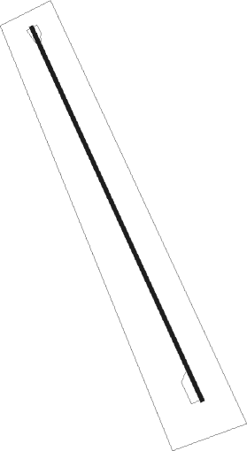
| Runway 15 / 33 | ||
| length | 1738m (5702ft) | |
| bearing | 154° / 334° | |
| width | 15m (50ft) | |
| surface | asphalt | |
Nearby beacons
| code | identifier | dist | bearing | frequency |
|---|---|---|---|---|
| SAA | SARATOGA NDB | 21.2 | 316° | 266 |
| LAR | LARAMIE VOR/DME | 39.2 | 78° | 117.60 |
| BQZ | ROBERT (STEAMBOAT SPRINGS VOR/DME | 44 | 204° | 112.20 |
| MBW | MEDICINE BOW VOR/DME | 48.2 | 39° | 116.85 |
| CHE | HAYDEN VOR/DME | 51.1 | 230° | 115.60 |
Disclaimer
The information on this website is not for real aviation. Use this data with the X-Plane flight simulator only! Data taken with kind consent from X-Plane 12 source code and data files. Content is subject to change without notice.
