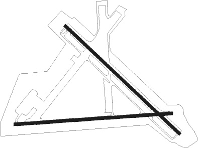
Grant-valkaria - Valkaria
Airport details
| Country | United States of America |
| State | Florida |
| Region | K7 |
| Airspace | Miami Oceanic Ctr |
| Municipality | Grant-Valkaria |
| Elevation | 23ft (7m) |
| Timezone | GMT -5 |
| Coordinates | 27.96806, -80.56389 |
| Magnetic var | |
| Type | land |
| Available since | X-Plane v10.40 |
| ICAO code | X59 |
| IATA code | n/a |
| FAA code | X59 |
Communication
| Valkaria CTAF/UNICOM | 122.725 |
Nearby Points of Interest:
Jorgensen's General Store
-Community Chapel of Melbourne Beach
-Florida Power and Light Company Ice Plant
-Archie Smith Wholesale Fish Company
-James Wadsworth Rossetter House
-Old Town Sebastian Historic District, West
-Old Town Sebastian Historic District, East
-Bamma Vickers Lawson House
-William H. Gleason House
-Pelican Island National Wildlife Refuge
-Marian Fell Library
-First Methodist Episcopal Church
-Treasure Hammock Ranch Farmstead
-Persimmon Mound
-Theodore Hausmann Estate
-Old Vero Beach Community Building
-Old Indian River County Courthouse
-Osceola Park Historic Residential District
-Maher Building
-Judge Henry F. Gregory House
-Vero Beach Diesel Power Plant
-Marion S. Whaley Citrus Packing House
-Rockledge Drive Residential District
-Barton Avenue Residential District
-Valencia Subdivision Residential District

Nearby beacons
| code | identifier | dist | bearing | frequency |
|---|---|---|---|---|
| MLB | MELBOURNE VOR/DME | 9 | 332° | 115.85 |
| COF | PATRICK (COCOA) TACAN | 16.3 | 350° | 115 |
| TRV | TREASURE (VERO BEACH) VORTAC | 17.8 | 166° | 117.30 |
| FPR | FORT PIERCE NDB | 30.6 | 158° | 275 |
| ORL | ORLANDO VORTAC | 53.4 | 307° | 112.20 |
| OR | HERNY (ORLANDO) NDB | 56.2 | 302° | 221 |
Disclaimer
The information on this website is not for real aviation. Use this data with the X-Plane flight simulator only! Data taken with kind consent from X-Plane 12 source code and data files. Content is subject to change without notice.