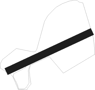
Gigha
Airport details
| Country | United Kingdom |
| State | Scotland |
| Region | |
| Airspace | Scottish Ctr |
| Municipality | Argyll and Bute |
| Elevation | 45ft (14m) |
| Timezone | GMT +0 |
| Coordinates | 55.65513, -5.75510 |
| Magnetic var | |
| Type | land |
| Available since | X-Plane v10.40 |
| ICAO code | X6GI |
| IATA code | n/a |
| FAA code | n/a |
Communication
Nearby Points of Interest:
Achamore House
-Doll’s Houses
-Ardpatrick House
-Kildalton Small Cross
-Kildalton Cross
-Airds Castle
-Dun Ugadale
-Glenlussa Lodge,standing stone
-Kilchousland Chapel
-Campbeltown Library and Museum
-Davaar Lighthouse
-Dunlossit House, Port Askaig, Islay
-Jetty, Port Askaig, Islay
-Post Office And Shop, Houses, Port Askaig, Islay
-Piermasters Shipping Office (D. Macbranes) House And Post Office Port Askaig
-Emeraconart, Islay
-Islay, Redhouses, Woollen Mill
-Islay, Bridgend, River Sorn, Bridge
-Shop And House, Post Office, Bridgend, Islay
-Islay, Bridgend, Sornbank
-Islay, Islay House, East Tower
-Islay Home Farm
-Islay House
-Bowmore Town Hall
-Torr a'Chaisteal
Nearby beacons
| code | identifier | dist | bearing | frequency |
|---|---|---|---|---|
| CBL | CAMPBELTOWN NDB | 13.3 | 163° | 380 |
| MAC | MACHRIHANISH VOR/DME | 13.9 | 155° | 116 |
| ISY | DME-ILS | 16.8 | 273° | 109.95 |
| LAY | ISLAY NDB | 16.8 | 273° | 395 |
| TRN | TURNBERRY VOR/DME | 38.9 | 109° | 117.50 |
| OBA | DME-ILS | 49.8 | 24° | 110.55 |
| OBN | OBAN NDB | 49.8 | 24° | 404 |
| OY | BELFAST/ALDERGROVE NDB | 58.9 | 199° | 332 |
| BEL | BELFAST VOR/DME | 61.8 | 206° | 117.20 |
Disclaimer
The information on this website is not for real aviation. Use this data with the X-Plane flight simulator only! Data taken with kind consent from X-Plane 12 source code and data files. Content is subject to change without notice.