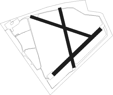
Kirknewton
Airport details
| Country | United Kingdom |
| State | Scotland |
| Region | |
| Airspace | Scottish Ctr |
| Municipality | City of Edinburgh |
| Elevation | 665ft (203m) |
| Timezone | GMT +0 |
| Coordinates | 55.87183, -3.40294 |
| Magnetic var | |
| Type | land |
| Available since | X-Plane v10.40 |
| ICAO code | X6KT |
| IATA code | n/a |
| FAA code | n/a |
Communication
| Kirknewton Edinburgh Approach | 121.200 |
Nearby Points of Interest:
Linhouse Water, Railway Viaduct
-Calder House
-Almond Valley Viaduct
-Huly Hill, cairn & stone circle SW of Newbridge roundabout
-Woodhall House, Edinburgh
-Houstoun House
-Merchiston Castle School
-Redford Barracks
-Dreghorn Barracks
-Craigiehall
-Craiglockhart Hydropathic
-Edinburgh Corn Exchange
-Blackburn House, West Lothian
-Glencorse, Old Parish Church
-Craig House, Edinburgh
-Penicuik Town Hall (formerly the Cowan Institute), 33 High Street, Penicuik
-Dalmeny Kirk
-Tynecastle High School
-Murrayfield Ice Rink
-West Linton, The Loan, Srongarbh
-Ravelston Garden
-Royal Edinburgh Hospital
-Priory Church, South Queensferry
-Cramond Roman Fort
-Edinburgh, Gilmore Place, Viewforth Church

Nearby beacons
| code | identifier | dist | bearing | frequency |
|---|---|---|---|---|
| UW | EDINBURGH NDB | 3.9 | 289° | 368 |
| EDN | EDINBURGH NDB | 7.5 | 48° | 341 |
| TLA | TALLA VOR/DME | 22.4 | 172° | 113.80 |
| GLO | LOWTHER DME | 31 | 215° | 109.65 |
| PTH | PERTH VOR | 34.2 | 3° | 110.40 |
| LUK | LEUCHARS TACAN | 35 | 47° | 110.50 |
| DND | DUNDEE NDB | 36.3 | 26° | 394 |
Disclaimer
The information on this website is not for real aviation. Use this data with the X-Plane flight simulator only! Data taken with kind consent from X-Plane 12 source code and data files. Content is subject to change without notice.