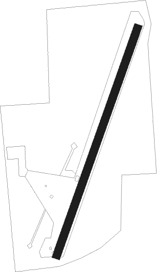
Port Colborne
Airport details
| Country | Canada |
| State | Ontario |
| Region | CY |
| Airspace | Cleveland Ctr |
| Municipality | Wainfleet |
| Elevation | 0ft (0m) |
| Timezone | GMT -5 |
| Coordinates | 42.87750, -79.35278 |
| Magnetic var | |
| Type | land |
| Available since | X-Plane v10.40 |
| ICAO code | XC004Q |
| IATA code | n/a |
| FAA code | n/a |
Communication
Nearby beacons
| code | identifier | dist | bearing | frequency |
|---|---|---|---|---|
| SN | ST CATHARINES NDB | 16.7 | 20° | 408 |
| IAG | NIAGARA FALLS TACAN | 22.2 | 59° | 111 |
| DKK | DME | 23.5 | 169° | 116.20 |
| GB | PLAZZ (BUFFALO) NDB | 23.6 | 90° | 204 |
| ZHM | BINBROOK (HAMILTON) NDB | 25.1 | 301° | 266 |
| IA | KATHI (NIAGRA FALLS) NDB | 26.5 | 66° | 329 |
| BUF | BUFFALO VOR/DME | 31.2 | 86° | 116.40 |
| BU | KLUMP (BUFFALO) NDB | 31.7 | 80° | 231 |
| HM | HAMILTON NDB | 32.2 | 290° | 221 |
| ZHA | ANCASTER (HAMILTON) NDB | 35.2 | 295° | 397 |
| JHW | JAMESTOWN VOR/DME | 42.6 | 161° | 114.70 |
| TZ | GIBRALTAR POINT NDB | 44.1 | 357° | 257 |
| ZYZ | QUEENSWAY (TORONTO) NDB | 45.3 | 345° | 368 |
| YYZ | TORONTO VOR/DME | 48.4 | 340° | 112.15 |
| YTP | PEARSON (TORONTO) VOR/DME | 49.6 | 339° | 116.55 |
| ZTO | WOODHILL (TORONTO) NDB | 53.9 | 338° | 403 |
| ZKF | WELLINGTON (KITCHENER) NDB | 55.1 | 303° | 335 |
| ERI | ERIE VORTAC | 66.3 | 228° | 109.40 |
Disclaimer
The information on this website is not for real aviation. Use this data with the X-Plane flight simulator only! Data taken with kind consent from X-Plane 12 source code and data files. Content is subject to change without notice.
