Essex
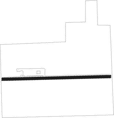
Airport details
| Country | Canada |
| State | Ontario |
| Region | CY |
| Airspace | Cleveland Ctr |
| Municipality | Town of Essex |
| Elevation | 620ft (189m) |
| Timezone | GMT -5 |
| Coordinates | 42.09583, -82.87945 |
| Magnetic var | |
| Type | land |
| Available since | X-Plane v10.40 |
| ICAO code | XC0056 |
| IATA code | n/a |
| FAA code | n/a |
Communication
Nearby Points of Interest:
Amherstburg First Baptist Church
-Amherstburg MCR Station
-East River Road Historic District
-St. James Episcopal Church
-Parke Lane Road–Thorofare Canal Bridge
-Ford-Bacon House
-Marx House
-George P. MacNichol House
-John and Emma Lacey Eberts House
-Gibraltar Road–Waterway Canal Bridge
-Ste. Claire
-Hull's Trace North Huron River Corduroy Segment
-Dominion House
-Jefferson Avenue–Huron River and Harbin Drive–Silver Creek Canal Bridges
-River Place, Detroit
-West Jefferson Avenue–Rouge River Bridge
-Detroit Yacht Club
-Sibley House
-Ponchartrain Apartments
-Charles Trowbridge House
-One Woodward Avenue
-Beaubien House
-Palms Apartments
-Manchester Apartments
-Somerset Apartments
Nearby beacons
| code | identifier | dist | bearing | frequency |
|---|---|---|---|---|
| RYS | GROSSE ILE (DETROIT) NDB | 12.1 | 271° | 419 |
| QG | WINDSOR NDB | 13 | 3° | 353 |
| DM | SPENC (DETROIT) NDB | 16.2 | 291° | 223 |
| DXO | DETROIT VOR/DME | 22.8 | 284° | 113.40 |
| DT | REVUP (DETROIT) NDB | 24.6 | 273° | 388 |
| CRL | CARLETON VOR/DME | 25.9 | 265° | 115.70 |
| MTC | SELFRIDGE (MOUNT CLEMENS) TACAN | 31.1 | 5° | 133.70 |
| PCW | PORT CLINTON NDB | 34.6 | 179° | 423 |
| SVM | SALEM VORTAC | 36.9 | 294° | 114.30 |
| PSI | DME | 46.4 | 313° | 111 |
| PH | PHURN (PORT HURON) NDB | 46.5 | 21° | 332 |
| TOL | TOLEDO TACAN | 51 | 241° | 112.50 |
| DJB | DRYER VOR/DME | 54.7 | 136° | 113.60 |
| FNT | FLINT VORTAC | 64.8 | 315° | 116.90 |
Disclaimer
The information on this website is not for real aviation. Use this data with the X-Plane flight simulator only! Data taken with kind consent from X-Plane 12 source code and data files. Content is subject to change without notice.