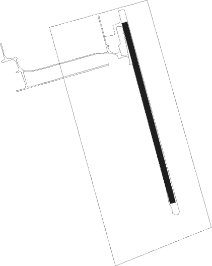
Fordwich
Airport details
| Country | Canada |
| State | Ontario |
| Region | CY |
| Airspace | Toronto Ctr |
| Municipality | Howick |
| Elevation | 1250ft (381m) |
| Timezone | GMT -5 |
| Coordinates | 43.88805, -80.99528 |
| Magnetic var | |
| Type | land |
| Available since | X-Plane v10.40 |
| ICAO code | XC005W |
| IATA code | n/a |
| FAA code | n/a |
Communication
Nearby Points of Interest:
Wellington County House of Industry and Refuge
Nearby beacons
| code | identifier | dist | bearing | frequency |
|---|---|---|---|---|
| D7 | KINCARDINE NDB | 32.3 | 297° | 350 |
| WT | (KITCHENER) DME | 37.1 | 125° | 115 |
| ZKF | WELLINGTON (KITCHENER) NDB | 38.8 | 119° | 335 |
| YMS | MANS (MANSFIELD) VOR/DME | 39.7 | 73° | 114.50 |
| YXU | LONDON VOR/DME | 51.4 | 190° | 117.20 |
| YVV | WIARTON VOR/DME | 51.6 | 353° | 117.70 |
| FD | BRANTFORD NDB | 55 | 145° | 207 |
| ZHA | ANCASTER (HAMILTON) NDB | 59.1 | 126° | 397 |
| HM | HAMILTON NDB | 63 | 128° | 221 |
Disclaimer
The information on this website is not for real aviation. Use this data with the X-Plane flight simulator only! Data taken with kind consent from X-Plane 12 source code and data files. Content is subject to change without notice.