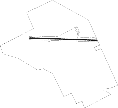
Woodstock - Gutherie Farm
Airport details
| Country | Canada |
| State | Ontario |
| Region | |
| Airspace | Toronto Ctr |
| Municipality | Oxford County |
| Elevation | 1040ft (317m) |
| Timezone | GMT -5 |
| Coordinates | 43.12814, -80.80063 |
| Magnetic var | |
| Type | land |
| Available since | X-Plane v10.40 |
| ICAO code | XC006S |
| IATA code | n/a |
| FAA code | n/a |
Communication
Nearby Points of Interest:
Old Woodstock Town Hall
-Annandale National Historic Site
-London Normal School
-Galt railway station
-Canada Southern Railway Station
-BX InterlockingTower
Nearby beacons
| code | identifier | dist | bearing | frequency |
|---|---|---|---|---|
| YXU | LONDON VOR/DME | 16.2 | 255° | 117.20 |
| FD | BRANTFORD NDB | 17.1 | 98° | 207 |
| WT | (KITCHENER) DME | 27 | 52° | 115 |
| ZKF | WELLINGTON (KITCHENER) NDB | 31.3 | 55° | 335 |
| ZHA | ANCASTER (HAMILTON) NDB | 34.1 | 85° | 397 |
| HM | HAMILTON NDB | 34.7 | 91° | 221 |
Disclaimer
The information on this website is not for real aviation. Use this data with the X-Plane flight simulator only! Data taken with kind consent from X-Plane 12 source code and data files. Content is subject to change without notice.