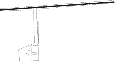
Fannystelle - Fannystelle Presidio Aerial
Airport details
| Country | Canada |
| State | Manitoba |
| Region | CY |
| Airspace | Winnipeg Ctr |
| Municipality | Rural Municipality of Grey |
| Elevation | 768ft (234m) |
| Timezone | GMT -6 |
| Coordinates | 49.72867, -97.79743 |
| Magnetic var | |
| Type | land |
| Available since | X-Plane v10.40 |
| ICAO code | XC007L |
| IATA code | n/a |
| FAA code | n/a |
Communication
Nearby Points of Interest:
Portage la Prairie railway station
-Portage la Prairie Canadian Pacific Railway Station
-Fort La Reine
-Minto Armoury
Nearby beacons
| code | identifier | dist | bearing | frequency |
|---|---|---|---|---|
| PG | PORTAGE (PORTAGE LA PRAIRIE) NDB | 16.3 | 286° | 353 |
| LF | LA SALLE NDB | 20 | 100° | 336 |
| WG | WINNIPEG NDB | 20.1 | 69° | 248 |
| YPG | PORTAGE (PORTAGE LA PRAIR VOR/DME | 20.9 | 290° | 114.60 |
| ZWW | BOINE (WINNIPEG) NDB | 21.8 | 79° | 215 |
| ZWN | DOWNS (WINNIPEG) NDB | 23.2 | 64° | 201 |
| YWG | WINNIPEG VORTAC | 24.7 | 70° | 115.50 |
| ZHT | FORKS (WINNIPEG) NDB | 26.1 | 81° | 236 |
| ZWG | STONEY (WINNIPEG) NDB | 27.2 | 66° | 287 |
| BM | BALMORAL NDB | 30.9 | 50° | 375 |
| UDE | DELTA NDB | 32.8 | 311° | 269 |
| VLR | LANGRUTH VOR/DME | 54.8 | 307° | 112.20 |
| HML | HUMBOLDT TACAN | 58 | 142° | 112.40 |
| M4 | GIMLI NDB | 61.8 | 39° | 296 |
Disclaimer
The information on this website is not for real aviation. Use this data with the X-Plane flight simulator only! Data taken with kind consent from X-Plane 12 source code and data files. Content is subject to change without notice.