Madawaska - Madawaska Collins Field
Airport details
| Country | Canada |
| State | Ontario |
| Region | CY |
| Airspace | Toronto Ctr |
| Municipality | South Algonquin Township |
| Elevation | 1040ft (317m) |
| Timezone | GMT -5 |
| Coordinates | 45.50751, -77.99062 |
| Magnetic var | |
| Type | land |
| Available since | X-Plane v10.40 |
| ICAO code | XC008I |
| IATA code | n/a |
| FAA code | n/a |
Communication
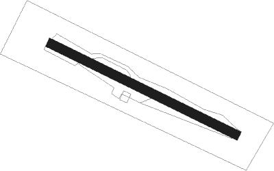
Runway info
| Runway 12 / 30 | ||
| length | 402m (1319ft) | |
| bearing | 113° / 293° | |
| width | 18m (60ft) | |
| surface | grass | |
Nearby beacons
| code | identifier | dist | bearing | frequency |
|---|---|---|---|---|
| YXI | DME | 18.8 | 68° | 115.60 |
| YTA | PEMBROKE NDB | 36.9 | 69° | 409 |
| YWA | PETAWAWA NDB | 38 | 62° | 516 |
| VIE | COEHILL VOR/DME | 51 | 173° | 115.10 |
Disclaimer
The information on this website is not for real aviation. Use this data with the X-Plane flight simulator only! Data taken with kind consent from X-Plane 12 source code and data files. Content is subject to change without notice.