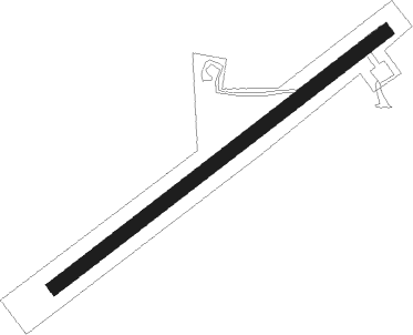
Bell Island
Airport details
| Country | Canada |
| State | Newfoundland and Labrador |
| Region | CY |
| Airspace | Gander Oceanic Ctr |
| Municipality | Wabana |
| Elevation | 189ft (58m) |
| Timezone | GMT -3.5 |
| Coordinates | 47.63505, -52.98028 |
| Magnetic var | |
| Type | land |
| Available since | X-Plane v11.51r1 |
| ICAO code | XC008V |
| IATA code | n/a |
| FAA code | n/a |
Communication
Nearby Points of Interest:
Cathedral of the Immaculate Conception
-Kent Cottage
-Brigus Stone Barn
-St. John's Ecclesiastical District
-Fort Townshend
-Murray Premises
-St. Patrick's Church
-Government House
-Masonic Temple
-Bank of British North America Building
-St. John's Court House
-Fort William
-Anderson House
-Fort Amherst
-Heart’s Content Cable Station
Nearby beacons
| code | identifier | dist | bearing | frequency |
|---|---|---|---|---|
| ZNF | WABANA (SAINT JOHN'S) NDB | 4.6 | 98° | 270 |
| YYT | TORBAY (ST. JOHN'S) VOR/DME | 10.3 | 139° | 113.50 |
Disclaimer
The information on this website is not for real aviation. Use this data with the X-Plane flight simulator only! Data taken with kind consent from X-Plane 12 source code and data files. Content is subject to change without notice.