Angling Lake - Angling Lake Wapakeka
Airport details
| Country | Canada |
| State | Ontario |
| Region | CY |
| Airspace | Winnipeg Ctr |
| Municipality | Kenora District |
| Elevation | 711ft (217m) |
| Timezone | GMT -6 |
| Coordinates | 53.84906, -89.57938 |
| Magnetic var | |
| Type | land |
| Available since | X-Plane v10.32 |
| ICAO code | XC00B6 |
| IATA code | YAX |
| FAA code | n/a |
Communication
| Angling Lake Wapakeka ATC | 123.200 |
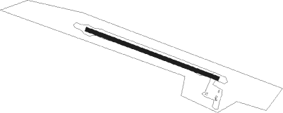
Runway info
| Runway 12 / 30 | ||
| length | 1099m (3606ft) | |
| bearing | 105° / 285° | |
| width | 30m (100ft) | |
| surface | gravel | |
Nearby beacons
| code | identifier | dist | bearing | frequency |
|---|---|---|---|---|
| YTL | BIG TROUT LAKE NDB | 11.9 | 264° | 328 |
Disclaimer
The information on this website is not for real aviation. Use this data with the X-Plane flight simulator only! Data taken with kind consent from X-Plane 12 source code and data files. Content is subject to change without notice.