Rimbey
Airport details
| Country | Canada |
| State | Alberta |
| Region | CY |
| Airspace | Edmonton Ctr |
| Municipality | Ponoka County |
| Elevation | 2960ft (902m) |
| Timezone | GMT -7 |
| Coordinates | 52.68201, -114.23674 |
| Magnetic var | |
| Type | land |
| Available since | X-Plane v10.40 |
| ICAO code | XC00BA |
| IATA code | n/a |
| FAA code | n/a |
Communication
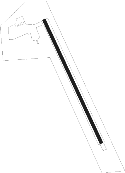
Runway info
| Runway 15 / 33 | ||
| length | 905m (2969ft) | |
| bearing | 148° / 328° | |
| width | 23m (75ft) | |
| surface | grass | |
Nearby beacons
| code | identifier | dist | bearing | frequency |
|---|---|---|---|---|
| D3 | PONOKA INDUS NDB | 22.9 | 90° | 363 |
| 6G | DEER DME | 32.7 | 145° | 113.80 |
| YEG | EDMONTON VOR/DME | 33 | 36° | 117.60 |
| YQF | RED DEER NDB | 35.4 | 149° | 320 |
| ZZD | CALMAR (EDMONTON) NDB | 40.2 | 45° | 308 |
| ZAB | LEDUC (EDMONTON) NDB | 43.1 | 53° | 215 |
| 3M | DRAYTON VALLEY NDB | 43.7 | 309° | 385 |
| ZET | DEVON (EDMONTON) NDB | 45.1 | 40° | 292 |
| 9G | SUNDRE NDB | 56.6 | 206° | 405 |
| K2 | OLDS-DIDSBURY NDB | 58.5 | 172° | 376 |
| EB | NAMAO (EDMONTON) NDB | 65.4 | 38° | 256 |
Disclaimer
The information on this website is not for real aviation. Use this data with the X-Plane flight simulator only! Data taken with kind consent from X-Plane 12 source code and data files. Content is subject to change without notice.