Greenlaw - Charterhall
Airport details
| Country | United Kingdom |
| State | Scotland |
| Region | |
| Airspace | Scottish Ctr |
| Municipality | Scottish Borders |
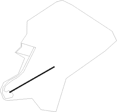
| Elevation | 333ft (101m) |
| Timezone | GMT +0 |
| Coordinates | 55.70492, -2.38639 |
| Magnetic var | |
| Type | land |
| Available since | X-Plane v10.40 |
| ICAO code | XCHA |
| IATA code | n/a |
| FAA code | n/a |
Communication
| Charterhall Charterhall Traffic | 135.475 |
Nearby Points of Interest:
Marchmont House
-Polwarth Parish Church
-Bughtrig
-Greenlaw, The Square, Mercat Cross
-Greenlaw, The Square, Town Hall
-Blackcastle Rings
-Nisbet House
-Kimmerghame House
-Carham Hall
-The Hirsel
-Ednam Church
-Newton Don
-Lennel House And Garden
-Coldstream Bridge
-Preston Bridge
-Ladykirk House, West Lodge
-Edrom Church
-Kelso, Bridge Street, Ednam House
-Kelso Bridge
-Kelso, Teviot Bridge
-Longformacus House
-Wedderlie House
-St Mary’s Church, Ladykirk
-The Retreat
-Chirnside, Kirkgate, Dovecot
Nearby beacons
| code | identifier | dist | bearing | frequency |
|---|---|---|---|---|
| SAB | SAINT ABBS VOR/DME | 13.6 | 42° | 112.50 |
| EDN | EDINBURGH NDB | 34.4 | 287° | 341 |
| TLA | TALLA VOR/DME | 35 | 258° | 113.80 |
| LUK | LEUCHARS TACAN | 43.1 | 324° | 110.50 |
| NEW | DME | 46.4 | 134° | 114.25 |
| NT | NEWCASTLE NDB | 46.7 | 131° | 352 |
| DND | DUNDEE NDB | 51.2 | 316° | 394 |
| PTH | PERTH VOR | 55.1 | 307° | 110.40 |
| DCS | CROSS DME | 67.4 | 224° | 115.20 |
Disclaimer
The information on this website is not for real aviation. Use this data with the X-Plane flight simulator only! Data taken with kind consent from X-Plane 12 source code and data files. Content is subject to change without notice.