Prince Edward County - Mountain View
Airport details
| Country | Canada |
| State | Ontario |
| Region | CY |
| Airspace | Toronto Ctr |
| Municipality | Prince Edward County |
| Elevation | 360ft (110m) |
| Timezone | GMT -5 |
| Coordinates | 44.06944, -77.33806 |
| Magnetic var | |
| Type | land |
| Available since | X-Plane v10.40 |
| ICAO code | XCYCPZ3 |
| IATA code | n/a |
| FAA code | n/a |
Communication
| Mountain View CTAF | 122.925 |
| Mountain View TRENTON Tower | 128.700 |
Nearby Points of Interest:
Belleville City Hall
-Glanmore House
-Tara Hall
-Carrying Place
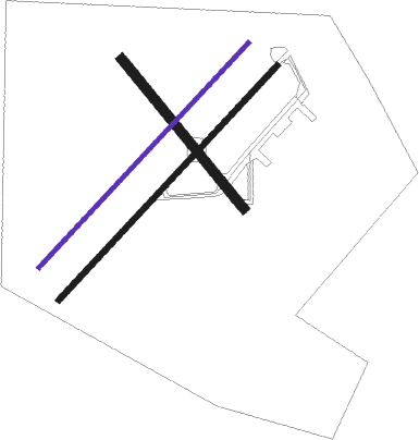
Runway info
Runway 16 / 34  | ||
| length | 915m (3002ft) | |
| bearing | 136° / 316° | |
| width | 46m (150ft) | |
| surface | asphalt | |
| Runway 06L / 24R | ||
| length | 1464m (4803ft) | |
| bearing | 57° / 237° | |
| width | 18m (60ft) | |
| surface | gravel | |
| Runway 06R / 24L | ||
| length | 1526m (5007ft) | |
| bearing | 57° / 237° | |
| width | 27m (90ft) | |
| surface | asphalt | |
| blast zone | 0m (0ft) / 84m (276ft) | |
Nearby beacons
| code | identifier | dist | bearing | frequency |
|---|---|---|---|---|
| YTR | TRENTON NDB | 7.9 | 332° | 215 |
| UTR | TRENTON TACAN | 8.8 | 285° | 109.70 |
| ZZR | SEVERN (TRENTON) NDB | 12.4 | 267° | 317 |
| YCF | DME | 22.3 | 306° | 113.50 |
| YGK | KINGSTON NDB | 34.4 | 73° | 263 |
| VIE | COEHILL VOR/DME | 42.6 | 317° | 115.10 |
| ROC | ROCHESTER VOR/DME | 58.9 | 199° | 110 |
Disclaimer
The information on this website is not for real aviation. Use this data with the X-Plane flight simulator only! Data taken with kind consent from X-Plane 12 source code and data files. Content is subject to change without notice.