Portage La Prairie - Portage La Prairie (north)
Airport details
| Country | Canada |
| State | Manitoba |
| Region | |
| Airspace | Winnipeg Ctr |
| Municipality | Portage la Prairie |
| Elevation | 858ft (262m) |
| Timezone | GMT -6 |
| Coordinates | 49.99249, -98.30765 |
| Magnetic var | |
| Type | land |
| Available since | X-Plane v10.40 |
| ICAO code | XCYZ2 |
| IATA code | n/a |
| FAA code | n/a |
Communication
| Portage La Prairie (North) Traffic | 122.800 |
Nearby Points of Interest:
Portage la Prairie Canadian Pacific Railway Station
-Portage la Prairie railway station
-Fort La Reine
-MacGregor Canadian Pacific Railway Water Tower
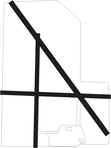
Runway info
Runway 09 / 27  | ||
| length | 601m (1972ft) | |
| bearing | 94° / 274° | |
| width | 23m (75ft) | |
| surface | grass | |
| Runway 14 / 32 | ||
| length | 905m (2969ft) | |
| bearing | 136° / 316° | |
| width | 27m (90ft) | |
| surface | grass | |
| Runway 18 / 36 | ||
| length | 624m (2047ft) | |
| bearing | 189° / 9° | |
| width | 23m (75ft) | |
| surface | grass | |
Nearby beacons
| code | identifier | dist | bearing | frequency |
|---|---|---|---|---|
| YPG | PORTAGE (PORTAGE LA PRAIR VOR/DME | 5.7 | 156° | 114.60 |
| PG | PORTAGE (PORTAGE LA PRAIRIE) NDB | 10.3 | 140° | 353 |
| UDE | DELTA NDB | 10.4 | 0° | 269 |
| VLR | LANGRUTH VOR/DME | 30.3 | 316° | 112.20 |
| WG | WINNIPEG NDB | 37.4 | 96° | 248 |
| ZWN | DOWNS (WINNIPEG) NDB | 38.1 | 92° | 201 |
| BM | BALMORAL NDB | 39.4 | 82° | 375 |
Disclaimer
The information on this website is not for real aviation. Use this data with the X-Plane flight simulator only! Data taken with kind consent from X-Plane 12 source code and data files. Content is subject to change without notice.