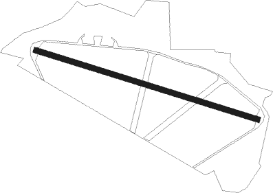
Camelford - Davidstow Moor
Airport details
| Country | United Kingdom |
| State | England |
| Region | |
| Airspace | London Ctr |
| Municipality | Cornwall |
| Elevation | 969ft (295m) |
| Timezone | GMT +0 |
| Coordinates | 50.64050, -4.62983 |
| Magnetic var | |
| Type | land |
| Available since | X-Plane v10.40 |
| ICAO code | XDAV |
| IATA code | n/a |
| FAA code | n/a |
Communication
Nearby Points of Interest:
Bodmin Moor
-Altarnun Methodist Chapel
-the jamaica inn
-Holy Trinity Church
-Jubilee Rock
-Boscastle to Widemouth
-Treguddick
-Cornwall Area of Outstanding Natural Beauty
-Fern Cottage
-Tregarden
-Three Holes Cross
-Phoenix United Mine
-The Guildhall And Town Hall With Attached Coach House
-Costislost
-Shire Hall
-Wadebridge railway station
-Crossgate Farmhouse
-Carminow Cross
-Largin Castle
-Battle of Stratton
-Greystone Bridge
-The Pipewell
-Lower Manaton
-Duckpool to Furzey Cove
-Battle of Braddock Down
Nearby beacons
| code | identifier | dist | bearing | frequency |
|---|---|---|---|---|
| NQY | NEWQUAY NDB | 18.3 | 242° | 347 |
| CUL | CULDROSE NDB | 41 | 228° | 370 |
Disclaimer
The information on this website is not for real aviation. Use this data with the X-Plane flight simulator only! Data taken with kind consent from X-Plane 12 source code and data files. Content is subject to change without notice.