Wertheim
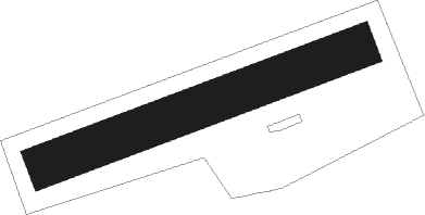
Airport details
| Country | Germany |
| State | Baden-Württemberg |
| Region | |
| Airspace | Langen Ctr |
| Municipality | Wertheim |
| Elevation | 1000ft (305m) |
| Timezone | GMT +1 |
| Coordinates | 49.72631, 9.50672 |
| Magnetic var | |
| Type | land |
| Available since | X-Plane v10.40 |
| ICAO code | XED0005 |
| IATA code | n/a |
| FAA code | n/a |
Communication
| Wertheim Wertheim Info | 123.425 |
Nearby Points of Interest:
Eisenbahnbrücke Bronnbach
-City fortifications of Wertheim
-Kreuzweg
-Wettenburg
-City fortifications of Külsheim
-Synagoge
-Bettingbergtunnel
-Eisenbahnbrücke Gamburg
-Rathaus
-Dürrhofkapelle
-Käppele
-Bahnhof Hochhausen
-Friedhofskapelle in Hochhausen
-Synagoge Hochhausen (Tauberbischofsheim)
-Kreuzweg Schweinberg
-Friedhofskapelle
-Mariengrotte
-Kloster Holzkirchen
-14-Heiligen-Kapelle
-Wegkapelle
-Jüdischer Friedhof Tauberbischofsheim
Nearby beacons
| code | identifier | dist | bearing | frequency |
|---|---|---|---|---|
| CHA | CHARLIE VOR/DME | 21.5 | 293° | 115.35 |
| NDD | DME-ILS | 26.6 | 126° | 108.70 |
| NSN | NIEDERSTETTEN NDB | 26.7 | 126° | 311 |
| ILM | ILLESHEIM NDB | 37.5 | 106° | 488 |
| RID | RIED VOR/DME | 37.5 | 273° | 112.20 |
| FR | FRANKFURT NDB | 37.8 | 292° | 297 |
| NKR | NECKAR NDB | 38.1 | 243° | 292 |
| SHD | HALL DME | 38.1 | 156° | 108.05 |
| FFM | FRANKFURT VORTAC | 38.9 | 291° | 114.20 |
| FRD | DME | 40.6 | 288° | 115.90 |
| MND | DME | 41.5 | 256° | 113.55 |
| MTR | METRO VOR | 41.6 | 310° | 110 |
| GED | GEDERN VORTAC | 42.3 | 339° | 110.80 |
| DKB | DINKELSBUEHL VORTAC | 45.2 | 129° | 117.80 |
| LBU | LUBURG VOR/DME | 49.2 | 192° | 109.20 |
| FUL | FULDA VOR/DME | 52 | 4° | 112.10 |
| KRH | KARLSRUHE VOR/DME | 56.9 | 232° | 115.95 |
Disclaimer
The information on this website is not for real aviation. Use this data with the X-Plane flight simulator only! Data taken with kind consent from X-Plane 12 source code and data files. Content is subject to change without notice.