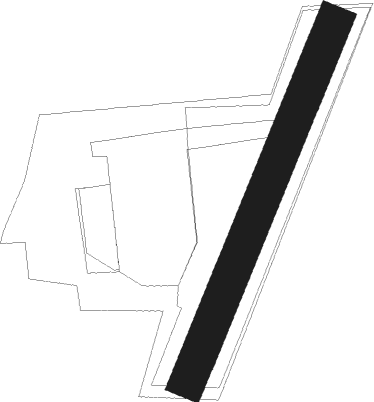
Drensteinfurt - Flugplatz Drensteinfurt
Airport details
| Country | Germany |
| State | North Rhine-Westphalia |
| Region | |
| Airspace | Langen Ctr |
| Municipality | Drensteinfurt |
| Elevation | 120ft (37m) |
| Timezone | GMT +1 |
| Coordinates | 51.76731, 7.74666 |
| Magnetic var | |
| Type | land |
| Available since | X-Plane v10.40 |
| ICAO code | XED0012 |
| IATA code | n/a |
| FAA code | n/a |
Communication
| Flugplatz Drensteinfurt Drensteinfurt INFO | 123.465 |
Runway info
| Runway 02 / 20 | ||
| length | 319m (1047ft) | |
| bearing | 39° / 219° | |
| width | 30m (98ft) | |
| surface | grass | |
Nearby beacons
| code | identifier | dist | bearing | frequency |
|---|---|---|---|---|
| HMM | HAMM VOR/DME | 5.5 | 337° | 115.65 |
| DWI | DORTMUND-WICKEDE NDB | 15 | 205° | 357 |
| DOR | WICKEDE (DORTMUND) VOR/DME | 15.1 | 206° | 108.65 |
| MOD | DME | 22.3 | 351° | 114.05 |
| MYN | MUENSTER/OSNABRUECK NDB | 23.6 | 8° | 371 |
| BOT | BOTTROP NDB | 29 | 256° | 406 |
| OSB | OSNABRUCK TACAN | 32.7 | 51° | 108.35 |
| OSN | OSNABRUECK VOR | 32.7 | 51° | 114.30 |
| PAD | DME-ILS | 33.8 | 100° | 108.50 |
| BAM | BARMEN VOR/DME | 33.9 | 232° | 114 |
| PAD | PADERBORN-LIPPSTADT NDB | 34.3 | 99° | 354 |
| GMH | GERMINGHAUSEN VOR/DME | 36.2 | 166° | 115.40 |
| LI | DUESSELDORF NDB | 40.7 | 244° | 417 |
| RKN | DME | 42.4 | 290° | 116.80 |
| WYP | WIPPER VOR | 46.5 | 213° | 109.60 |
| DUS | DUESSELDORF VOR/DME | 47.1 | 244° | 115.15 |
| LW | COLOGNE-BONN NDB | 55.3 | 210° | 300 |
| DP | DIEPHOLZ NDB | 55.9 | 41° | 325 |
| LJ | COLOGNE-BONN NDB | 56.6 | 219° | 365 |
| KBO | COLOGNE-BONN VOR/DME | 58.8 | 214° | 112.15 |
| COL | COLA VOR/DME | 59.3 | 189° | 108.80 |
| LV | COLOGNE-BONN NDB | 60.8 | 208° | 327 |
Disclaimer
The information on this website is not for real aviation. Use this data with the X-Plane flight simulator only! Data taken with kind consent from X-Plane 12 source code and data files. Content is subject to change without notice.
