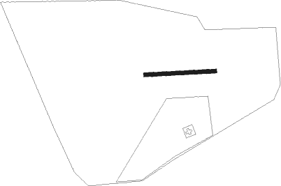
Wittlich - St.elisabeth Kkh
Airport details
| Country | Germany |
| State | Rhineland-Palatinate |
| Region | |
| Airspace | Langen Ctr |
| Municipality | Wittlich |
| Elevation | 812ft (247m) |
| Timezone | GMT +1 |
| Coordinates | 49.99985, 6.89315 |
| Magnetic var | |
| Type | land |
| Available since | X-Plane v10.40 |
| ICAO code | XED002S |
| IATA code | n/a |
| FAA code | n/a |
Communication
Nearby beacons
| code | identifier | dist | bearing | frequency |
|---|---|---|---|---|
| SPA | SPANGDAHLEM TACAN | 7.6 | 264° | 109.50 |
| BUE | BUECHEL TACAN | 12.7 | 45° | 117.10 |
| FHH | DME | 14.6 | 99° | 117.35 |
| HAN | HAHN NDB | 15.1 | 95° | 376 |
| ELU | LUXEMBOURG NDB | 28.3 | 239° | 368 |
| DIK | DIEKIRCH NDB | 30.6 | 260° | 307 |
| LE | LUXEMBOURG NDB | 33 | 241° | 318 |
| LUX | LUXEMBOURG VOR/DME | 33 | 241° | 112.25 |
| LW | LUXEMBOURG NDB | 36.2 | 242° | 404 |
| WLU | LUXEMBOURG NDB | 41.6 | 243° | 346 |
| RMS | RAMSTEIN TACAN | 43.3 | 129° | 113.40 |
| SLV | SPA NDB | 47.3 | 296° | 386 |
| SAD | DME | 48 | 164° | 116.75 |
| SR | ENSHEIM (SAARBRUECKEN) NDB | 48.6 | 157° | 360 |
| LV | COLOGNE-BONN NDB | 50.1 | 23° | 327 |
| NVO | NOERVENICH VORTAC | 50.3 | 343° | 116.20 |
| ZWN | ZWEIBRUECKEN VOR/DME | 50.5 | 146° | 114.80 |
| MTZ | METZ NDB | 50.9 | 223° | 354 |
| WNN | DME | 50.9 | 345° | 109.85 |
| KBO | COLOGNE-BONN VOR/DME | 52.6 | 16° | 112.15 |
| COL | COLA VOR/DME | 54.1 | 42° | 108.80 |
| LW | COLOGNE-BONN NDB | 55.6 | 22° | 300 |
| LJ | COLOGNE-BONN NDB | 56 | 10° | 365 |
| GIX | GEILENKIRCHEN TACAN | 66.3 | 319° | 108.10 |
| MAS | MAASTRICHT VOR/DME | 68.4 | 316° | 108.60 |
Disclaimer
The information on this website is not for real aviation. Use this data with the X-Plane flight simulator only! Data taken with kind consent from X-Plane 12 source code and data files. Content is subject to change without notice.
