Kamenz - Brauna Ul
Airport details
| Country | Germany |
| State | Saxony |
| Region | |
| Airspace | Munich Ctr |
| Municipality | Kamenz - Kamjenc |
| Elevation | 585ft (178m) |
| Timezone | GMT +1 |
| Coordinates | 51.28644, 14.06153 |
| Magnetic var | |
| Type | land |
| ICAO code | XED0039 |
| IATA code | n/a |
| FAA code | n/a |
Communication
| Brauna UL Brauna Info | 118.190 |
Nearby Points of Interest:
Town halls in Kamenz
-Andreasbrunnen
-Mönch (Kamenz)
-Roter Turm
-Schloss Oberlichtenau
-Viadukt Königsbrück
-Kreuzerhöhungskirche Königsbrück
-Dorfkirche Hohenbocka
-Dorfkirche Torno
-Schloss Guteborn
-Kirche Kleinröhrsdorf
-Barockschloss Neschwitz
-Village church Hosena
-Augustusbad
-Epilepsiezentrum Kleinwachau
-Gutshaus Schwarzbach
-Schönborner Kirche
-Kriegerdenkmal Lotzdorf
-Kriegerdenkmal Radeberg
-Neues Rathaus
-Altes Rathaus
-Dorfkirche Kroppen
-Kirche Laubusch
-Hospitalbrücke
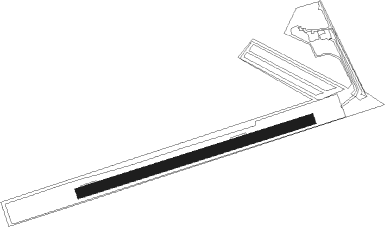
Runway info
| Runway 07 / 25 | ||
| length | 749m (2457ft) | |
| bearing | 82° / 262° | |
| width | 31m (103ft) | |
| surface | grass | |
Nearby beacons
| code | identifier | dist | bearing | frequency |
|---|---|---|---|---|
| FS | DRESDEN NDB | 9.7 | 246° | 374 |
| DND | DME | 14.8 | 243° | 115.40 |
| DRN | DRESDEN VOR/DME | 23.8 | 240° | 114.35 |
| HDO | HERMSDORF VOR/DME | 24.4 | 139° | 108.65 |
| HOZ | HOLZDORF TACAN | 43.2 | 299° | 117.25 |
| OKX | FRYDLANT VOR/DME | 43.2 | 112° | 114.85 |
| HOZ | HOLZDORF NDB | 46.2 | 297° | 406 |
| KLF | KLASDORF VOR/DME | 47.7 | 326° | 115.15 |
| NER | NERATOVICE VOR/DME | 59.1 | 149° | 112.25 |
Disclaimer
The information on this website is not for real aviation. Use this data with the X-Plane flight simulator only! Data taken with kind consent from X-Plane 12 source code and data files. Content is subject to change without notice.