Bad Waldsee - Waldsee-reute
Airport details
| Country | Germany |
| State | Baden-Württemberg |
| Region | |
| Airspace | Munich Ctr |
| Municipality | Bad Waldsee |
| Elevation | 1887ft (575m) |
| Timezone | GMT +1 |
| Coordinates | 47.91476, 9.71018 |
| Magnetic var | |
| Type | land |
| Available since | X-Plane v10.40 |
| ICAO code | XED003X |
| IATA code | n/a |
| FAA code | n/a |
Communication
| Waldsee-Reute Waldsee Info | 118.040 |
Nearby Points of Interest:
Speidlerhaus
-Schussenried Abbey
-Blasiuskapelle in Briach
-Pfarrkirche St. Jodok
-Amtsgericht Ravensburg
-Altes Theater
-Landgericht Ravensburg
-Jewish cemetery, Bad Buchau
-Dorfkapelle Starkenhofen
-Roter Bau
-Gigelberghalle
-Marienkapelle Oberstetten
-Schloss Liebenau
-Franziskanerinnenkloster Leutkirch im Allgäu
-Marienkapelle
-St. Petrus in Ketten
-Erdölfeld Mönchsrot
-Wallfahrtskirche St. Simon und Judas Thaddäus
-Fatimakapelle (Aitrach)
-Kulturhaus Mühle
-St. Georg (Hailtingen)
-Torschloss (Tettnang)
-St. Maria
-Sandgrube Gertenstock
-Georgskapelle (Tettnang)
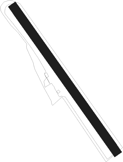
Runway info
| Runway 14 / 32 | ||
| length | 819m (2687ft) | |
| bearing | 138° / 318° | |
| width | 40m (133ft) | |
| surface | grass | |
| displ threshold | 76m (249ft) / 80m (262ft) | |
Nearby beacons
| code | identifier | dist | bearing | frequency |
|---|---|---|---|---|
| FHD | DME | 16.9 | 220° | 112.60 |
| LUP | LAUPHEIM NDB | 19.9 | 34° | 407 |
| ALD | (MEMMINGEN/ALLGAU) DME | 21.4 | 82° | 117.20 |
| ALG | ALLGAEU (MEMMINGEN) NDB | 22.7 | 81° | 341 |
| KPT | KEMPTEN VOR/DME | 27.7 | 105° | 108.40 |
| ZUE | ZURICH EAST VOR/DME | 40.9 | 250° | 110.05 |
| TGO | TANGO TACAN | 45.9 | 327° | 112.50 |
| SGD | DME | 50.3 | 328° | 115.45 |
| STG | STUTTGART VOR/DME | 50.3 | 330° | 116.85 |
| LBU | LUBURG VOR/DME | 61.7 | 340° | 109.20 |
Disclaimer
The information on this website is not for real aviation. Use this data with the X-Plane flight simulator only! Data taken with kind consent from X-Plane 12 source code and data files. Content is subject to change without notice.