Bad Ditzenbach - Berneck
Airport details
| Country | Germany |
| State | Baden-Württemberg |
| Region | |
| Airspace | Munich Ctr |
| Municipality | Deggingen |
| Elevation | 2423ft (739m) |
| Timezone | GMT +1 |
| Coordinates | 48.57058, 9.73070 |
| Magnetic var | |
| Type | land |
| Available since | X-Plane v10.40 |
| ICAO code | XED07 |
| IATA code | n/a |
| FAA code | n/a |
Communication
Nearby Points of Interest:
Siechenkapelle
-Alter Bau
-Göppingen City Library
-Jugendarrestanstalt Göppingen
-Neues Schloss Rechberghausen
-Altes Schloss Rechberghausen
-Wallfahrtskirche Birenbach
-Burg Klingenstein
-Bemelberger Schlössle
-Westernach’sches Kaplaneihaus
-Gasthaus zum Rößle (Schelklingen)
-Altes Lager Münsingen
-Haltepunkt Schwäbisch Gmünd Süd
-Söflingen Abbey
-Alte PH
-Stadtarchiv Schwäbisch Gmünd
-Kapitelshaus Schwäbisch Gmünd
-Rathaus Schwäbisch Gmünd
-Grät Schwäbisch Gmünd
-Rechbergsche Scheuer
-Stift Urach
-Spital zum hl. Geist Schwäbisch Gmünd
-Haus auf der Alb
-Altes Schulhaus Bargau
-Stadthaus Ulm
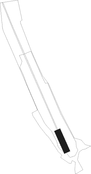
Runway info
| Runway 16 / 34 | ||
| length | 116m (381ft) | |
| bearing | 152° / 332° | |
| width | 39m (127ft) | |
| surface | grass | |
Nearby beacons
| code | identifier | dist | bearing | frequency |
|---|---|---|---|---|
| TGO | TANGO TACAN | 18.9 | 276° | 112.50 |
| STG | STUTTGART VOR/DME | 20.2 | 285° | 116.85 |
| SGD | DME | 21.3 | 283° | 115.45 |
| LUP | LAUPHEIM NDB | 22.3 | 153° | 407 |
| LBU | LUBURG VOR/DME | 25.7 | 311° | 109.20 |
| SHD | HALL DME | 32.8 | 5° | 108.05 |
| DKB | DINKELSBUEHL VORTAC | 39.7 | 42° | 117.80 |
| ALD | (MEMMINGEN/ALLGAU) DME | 40.2 | 139° | 117.20 |
| ALG | ALLGAEU (MEMMINGEN) NDB | 40.4 | 137° | 341 |
| NDD | DME-ILS | 50.2 | 16° | 108.70 |
| NSN | NIEDERSTETTEN NDB | 50.3 | 16° | 311 |
| FHD | DME | 54.9 | 194° | 112.60 |
| KPT | KEMPTEN VOR/DME | 55.3 | 143° | 108.40 |
| ANS | ANSBACH NDB | 56.8 | 51° | 452 |
| ILM | ILLESHEIM NDB | 60 | 36° | 488 |
| NKR | NECKAR NDB | 60.5 | 308° | 292 |
| ZUE | ZURICH EAST VOR/DME | 69.2 | 223° | 110.05 |
Disclaimer
The information on this website is not for real aviation. Use this data with the X-Plane flight simulator only! Data taken with kind consent from X-Plane 12 source code and data files. Content is subject to change without notice.