Menden - Iserlohn-suemmern
Airport details
| Country | Germany |
| State | North Rhine-Westphalia |
| Region | |
| Airspace | Langen Ctr |
| Municipality | Iserlohn |
| Elevation | 504ft (154m) |
| Timezone | GMT +1 |
| Coordinates | 51.43363, 7.69580 |
| Magnetic var | |
| Type | land |
| Available since | X-Plane v10.40 |
| ICAO code | XED10 |
| IATA code | n/a |
| FAA code | n/a |
Communication
Nearby Points of Interest:
Historische Kornbrennerei Bimberg
-Schloss Dahlhausen
-Haus Kotten
-Haus Altendorf
-Villa Heutelbeck
-Villa Klute
-Jüdischer Friedhof (Iserlohn)
-Villa Ebbinghaus-Möllmann
-Villa Wessel
-Wichelhovenhaus
-Iserlohn City Library
-Teufelsturm
-Museum Menden
-Haus Villigst
-Schlieperblock
-Villa Prinz
-Amtshaus Hemer
-Westig railway station
-Kreinberg
-Jüdischer Friedhof
-Jüdischer Friedhof (Schwerte)
-Amtsgericht Schwerte
-Ruhrflutbrücke Ergste
-Fabrikantenhaus von der Becke
-Ostdeutsche Heimatstuben und Heimatmuseum Ohlau
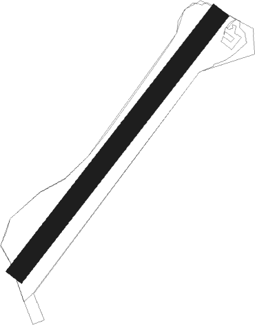
Runway info
| Runway 05 / 23 | ||
| length | 807m (2648ft) | |
| bearing | 56° / 236° | |
| width | 50m (164ft) | |
| surface | grass | |
Nearby beacons
| code | identifier | dist | bearing | frequency |
|---|---|---|---|---|
| DOR | WICKEDE (DORTMUND) VOR/DME | 6 | 325° | 108.65 |
| DWI | DORTMUND-WICKEDE NDB | 6 | 326° | 357 |
| GMH | GERMINGHAUSEN VOR/DME | 17.4 | 143° | 115.40 |
| BAM | BARMEN VOR/DME | 20.4 | 258° | 114 |
| HMM | HAMM VOR/DME | 25.4 | 2° | 115.65 |
| BOT | BOTTROP NDB | 26.7 | 283° | 406 |
| WYP | WIPPER VOR | 27.9 | 227° | 109.60 |
| LI | DUESSELDORF NDB | 30.5 | 264° | 417 |
| PAD | DME-ILS | 36 | 79° | 108.50 |
| LW | COLOGNE-BONN NDB | 36.2 | 220° | 300 |
| DUS | DUESSELDORF VOR/DME | 36.4 | 261° | 115.15 |
| PAD | PADERBORN-LIPPSTADT NDB | 37 | 79° | 354 |
| LJ | COLOGNE-BONN NDB | 38.6 | 231° | 365 |
| COL | COLA VOR/DME | 39.2 | 189° | 108.80 |
| KBO | COLOGNE-BONN VOR/DME | 40.1 | 224° | 112.15 |
| LV | COLOGNE-BONN NDB | 41.5 | 216° | 327 |
| MOD | DME | 42.3 | 359° | 114.05 |
| MYN | MUENSTER/OSNABRUECK NDB | 43.7 | 8° | 371 |
| SLD | DME | 45.9 | 152° | 108.05 |
| SIL | SIEGERLAND NDB | 48.2 | 150° | 489 |
| OSB | OSNABRUCK TACAN | 50.9 | 38° | 108.35 |
| OSN | OSNABRUECK VOR | 50.9 | 38° | 114.30 |
| RKN | DME | 54.4 | 307° | 116.80 |
Disclaimer
The information on this website is not for real aviation. Use this data with the X-Plane flight simulator only! Data taken with kind consent from X-Plane 12 source code and data files. Content is subject to change without notice.